
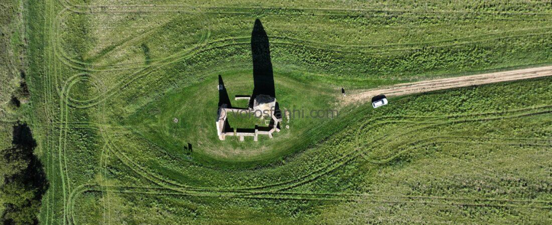
One of my colleagues, quite justifiably, referred to the Pusztatemplom standing near Somogyvámos simply as “the most frequently droned church in Hungary.” Its popularity is no coincidence: from an airspace perspective, it is situated in an ideal location, with no permanent restrictions complicating flight operations. I had visited the site a few years ago, but at that time I only captured a handful of quick aerial photographs. Recently, however, I returned with a more deliberate purpose. Instead of a DJI Mini, I brought a more capable platform designed specifically for photography and videography, a DJI Mavic 3 Pro. The goal was to produce a high-resolution 3D model. Since this model does not belong to the industrial (Enterprise) category, software-based automated flight planning is not available for it. This was precisely what made the experiment interesting: I was curious to see what quality of result could be achieved using purely manual flight and manual data acquisition.


What requirements must be met if we want to obtain measurable data with centimeter-level accuracy? In every photogrammetric survey, the key parameter is the overlap between consecutive images, and in fact, this proved to be the greatest challenge in this project as well. In automated flights, flight-planning software calculates and maintains this overlap automatically, whereas during manual operation, this responsibility falls entirely on the pilot. Fortunately, the Mavic 3 Pro includes an interval shooting function (automatic image capture at predefined time intervals), so instead of worrying about image density, I only had to concentrate on maintaining an appropriate flight path and a consistent speed.


The figures below clearly show exactly where the images were captured. Throughout the entire data acquisition process, I recorded a total of 533 photographs. According to the literature, for reliable processing, both longitudinal and lateral overlap must reach at least 60–65%. Due to the manual nature of the flight, I certainly exceeded this requirement by a considerable margin in some areas. In addition, around the recesses, moldings, and protruding elements of the church ruins, I manually adjusted the camera tilt angle (gimbal pitch), which meant that multiple images were sometimes taken from the same position. This ensured that neither texture nor geometry would be lost in any hidden corner. Incidentally, the latest industrial drones already perform this complex process completely automatically under the name Smart Oblique.
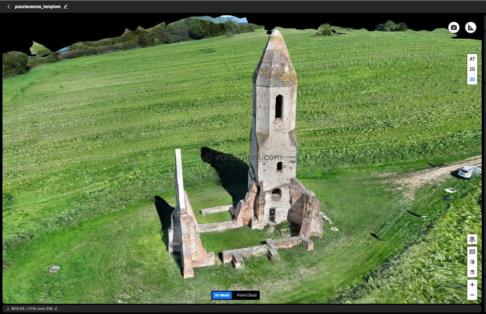
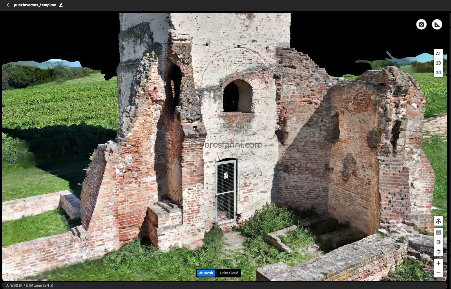
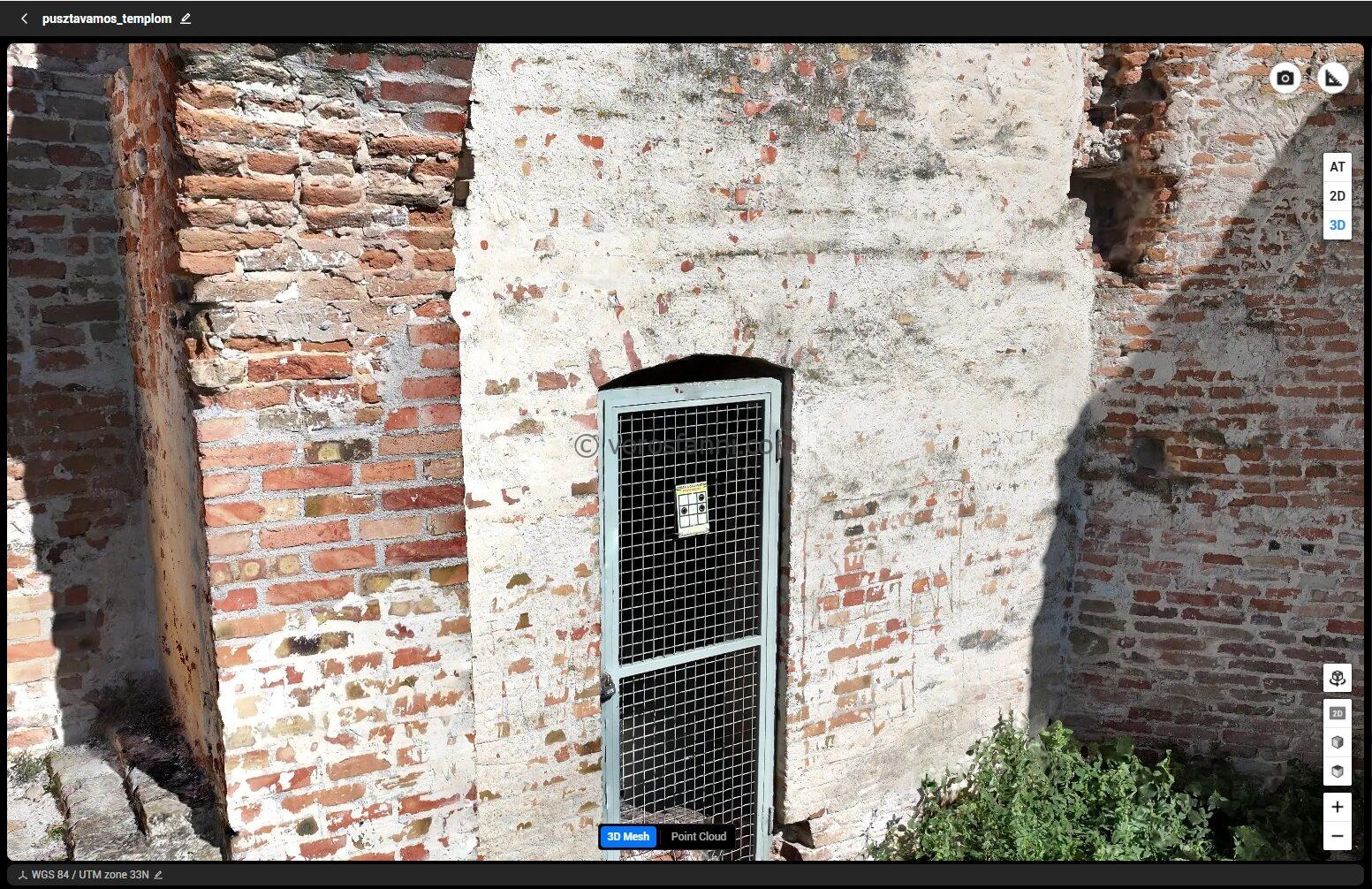
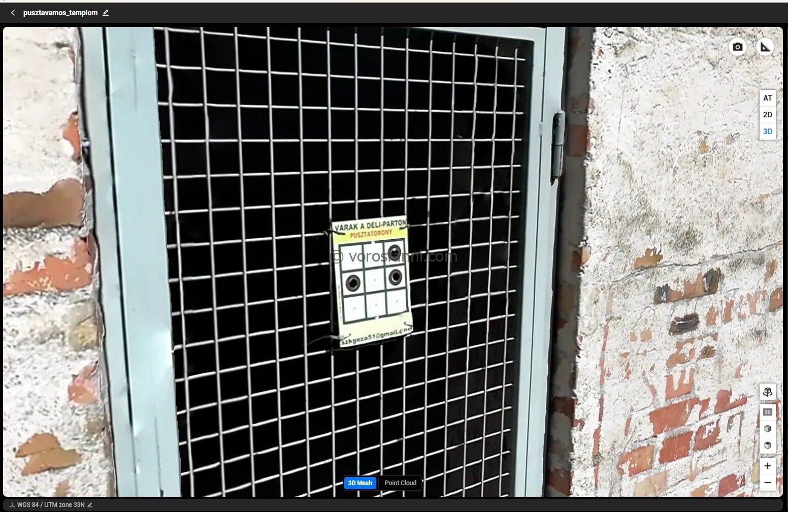
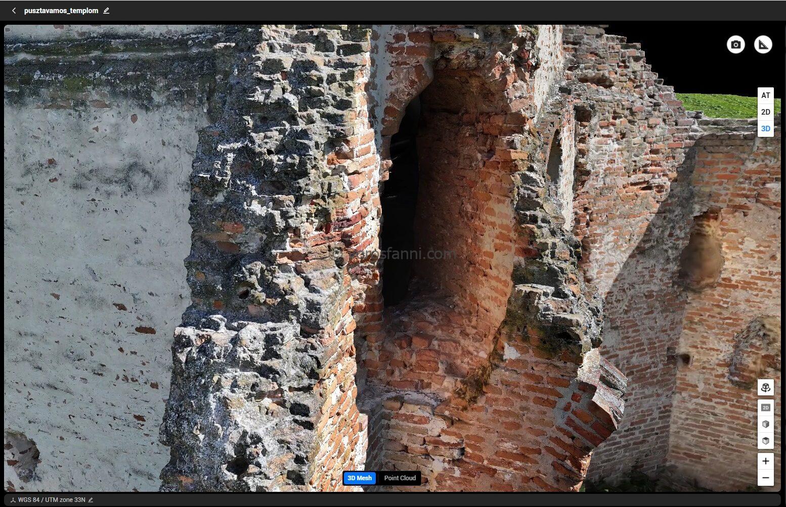
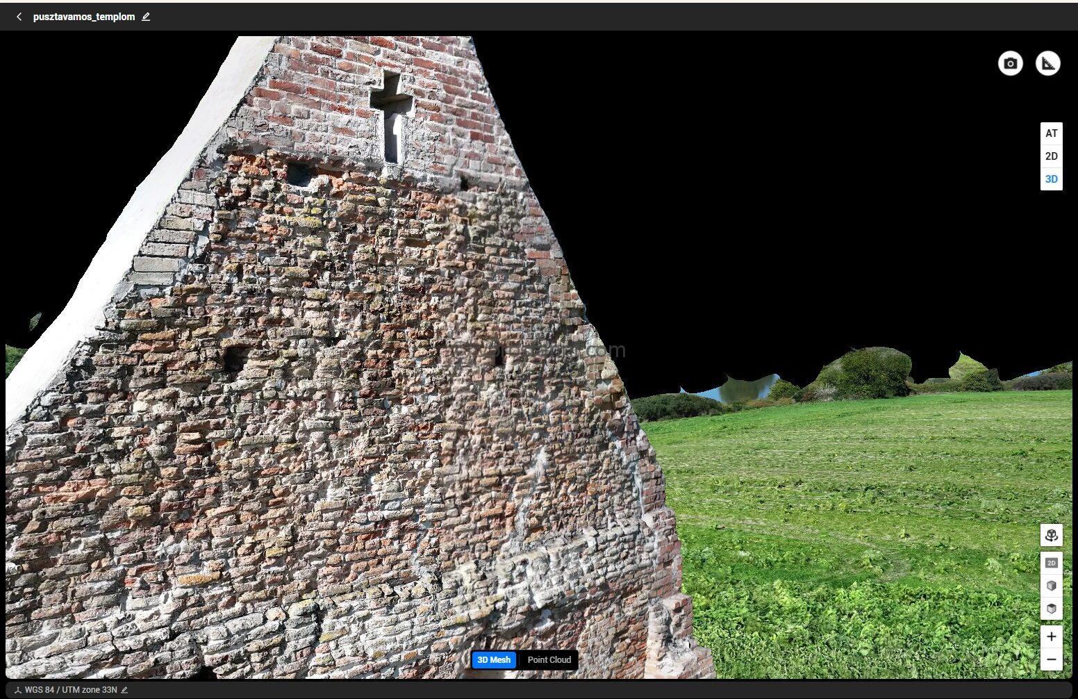
The results extracted from the processing software (and the images above) speak for themselves: using the DJI Mavic 3 Pro and purely manual data acquisition, it was possible to create an incredibly detailed, centimeter-resolution, and visually impressive 3D model. The experiment demonstrated that if the pilot understands the fundamental principles of photogrammetry (such as ensuring sufficient image overlap and varying camera angles), the absence of enterprise software does not have to be an obstacle when digitizing iconic structures. At the same time, the other side of the coin must also be acknowledged: manual flight requires an enormous amount of concentration and takes significantly more time (as well as more images) than an automated mission launched at the press of a button. For smaller objects or unique projects, such as the Pusztatemplom, this is a fantastic and viable alternative, but for larger areas or industrial-scale surveys, automation remains unmatched.