
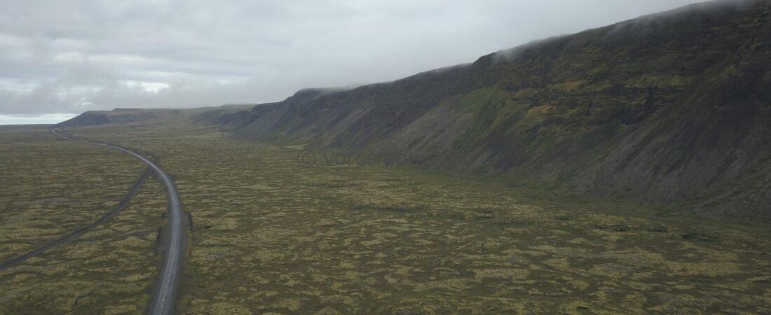
A spontaneous volcano tour in Iceland (2023): when geospatial science meets fresh lava
The most memorable journeys often come out of nowhere. My second trip to Iceland was also organized in a distinctly ad hoc manner: I came across a post by my colleague, Szabolcs Kósik, in an online group focused on volcanology. To keep costs down, he was looking for a travel companion for a long weekend so that he could see the 2023 eruption with his own eyes. Since we already knew each other professionally and had many mutual acquaintances, I did not hesitate for a moment. I joined him immediately.
In total, we spent three days on the island of fire and ice (between August 5 and 8), and we had only one fixed, must-do activity: reaching the fresh eruption site.
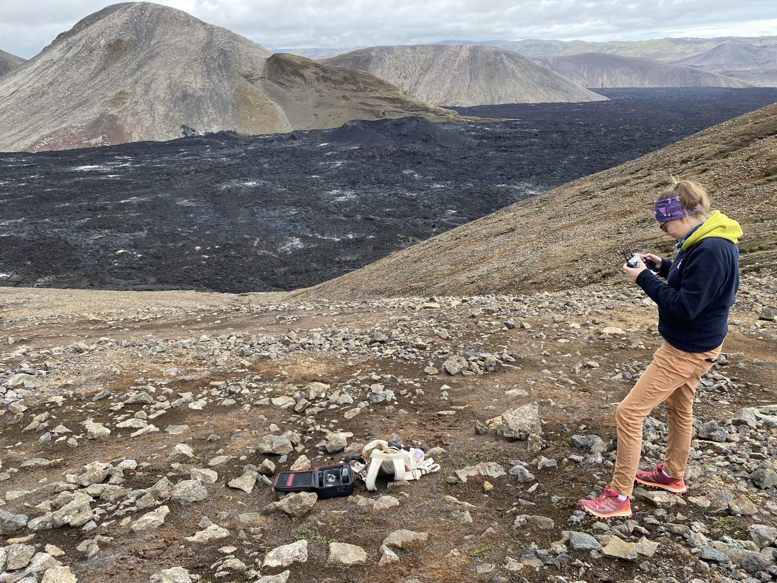
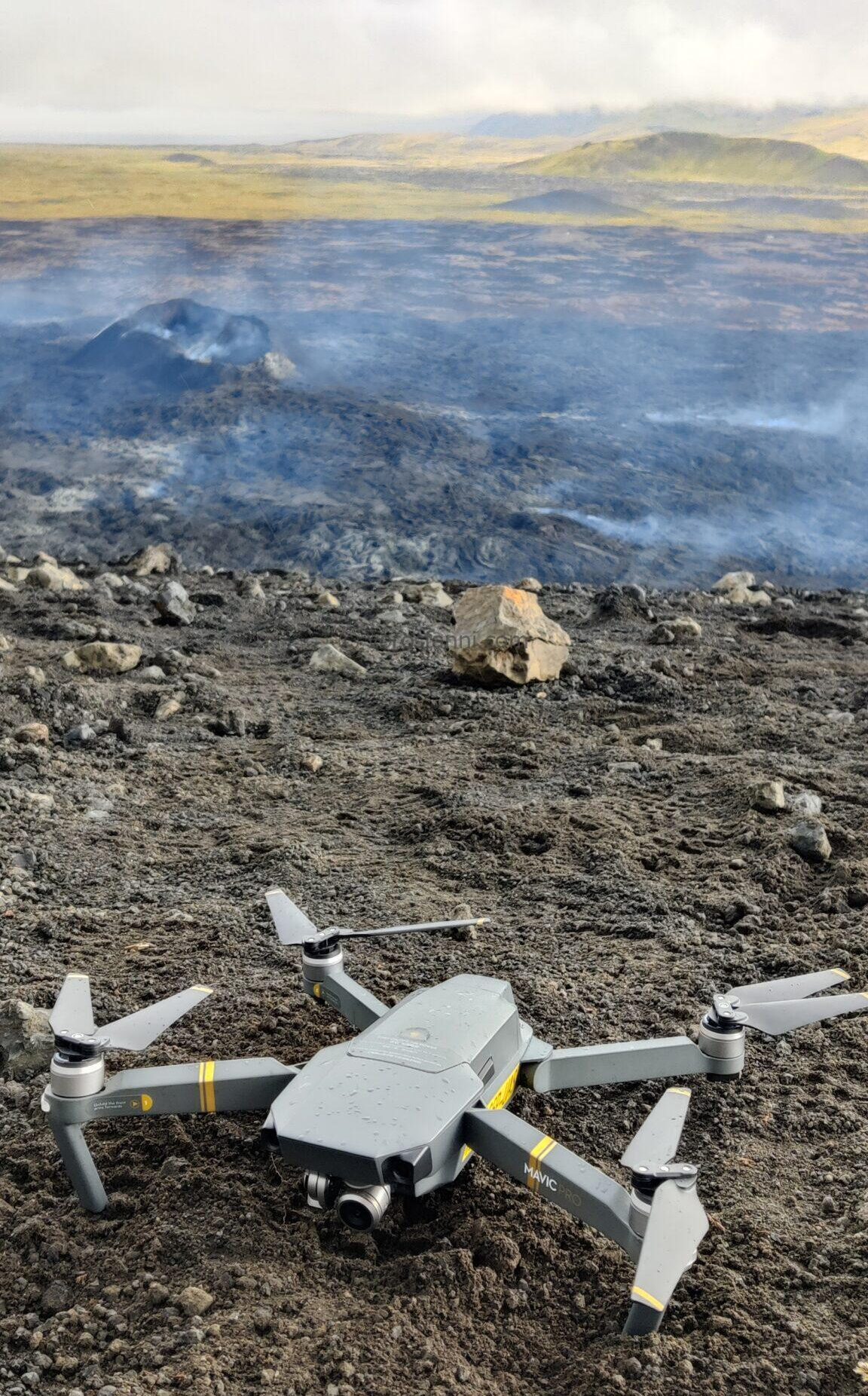
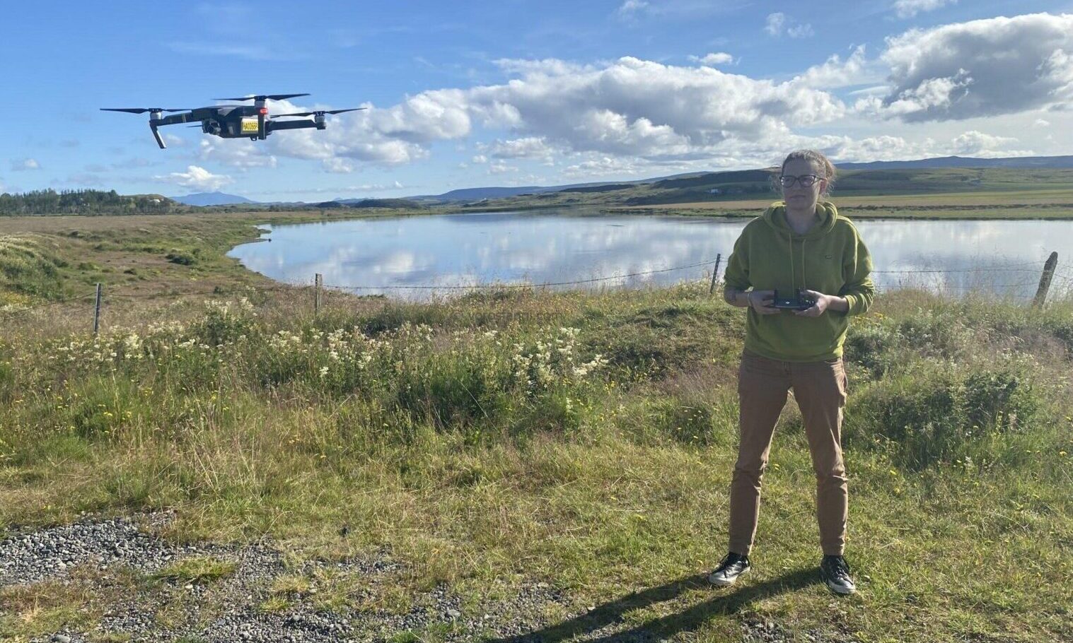
Although one might think that an experience like this would remain burned into memory forever, after three years the details had already begun to fade. When I wanted to reconstruct the route we had taken, instead of relying on my memory, I turned to my profession: I imported the geotagged photographs taken on site into a GIS software package. Since this feature was not yet enabled on my own phone at the time, I was able to accurately reconstruct our hike using the metadata of Szabi’s photographs, together with the flight logs from my drone.

Walking between tectonic plates: the Reykjanes Peninsula
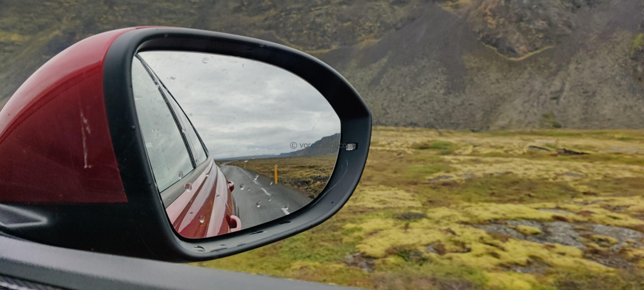
To this day, I am convinced that the best way to explore Iceland is with a rental car and complete freedom, which is exactly what we did. The only slightly inconvenient part of the trip was the schedule: due to the late flight, we were only able to get into the car at around two o’clock in the morning.
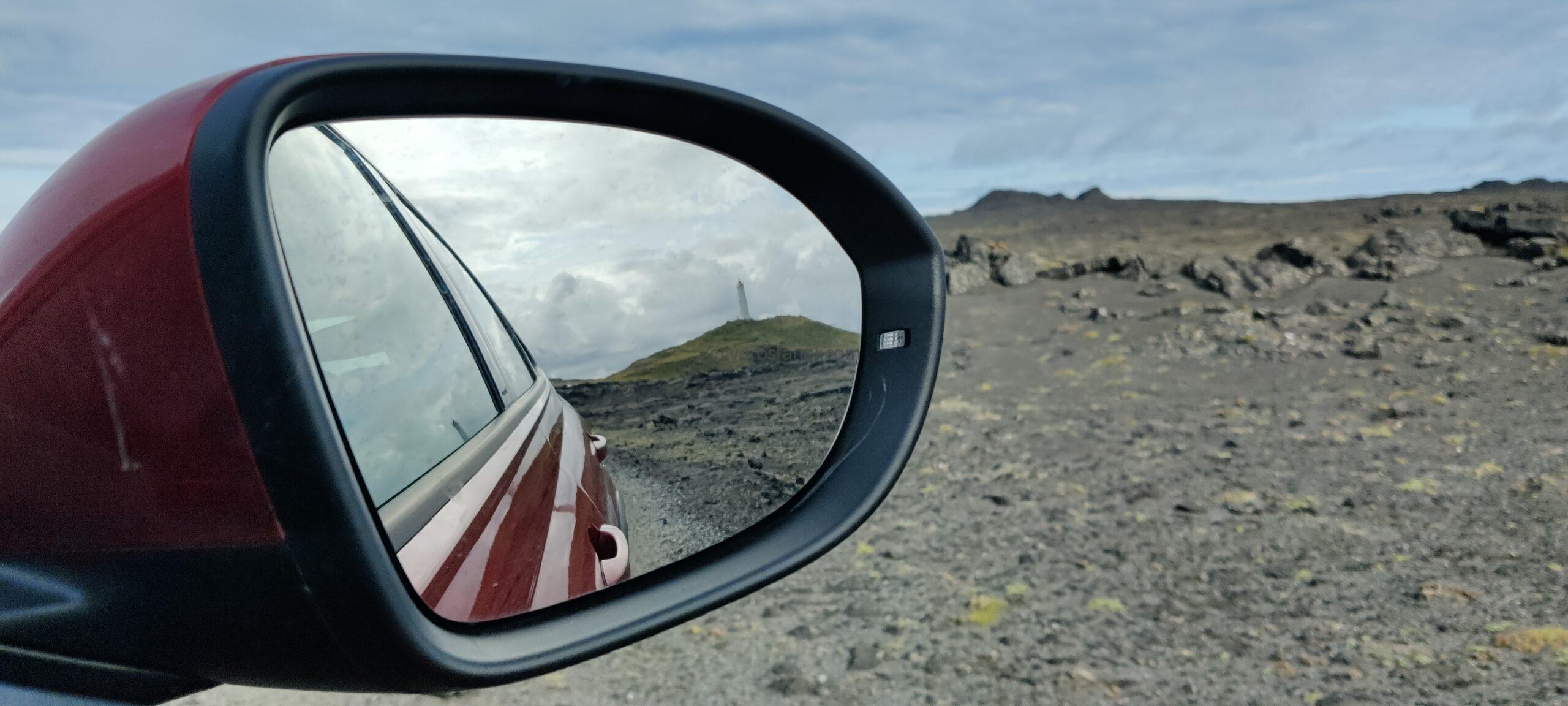
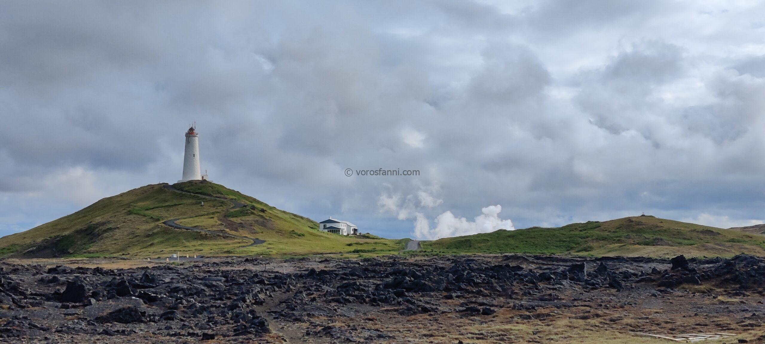
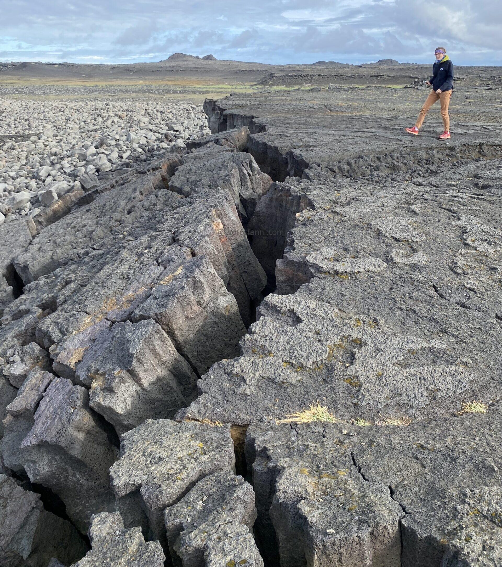
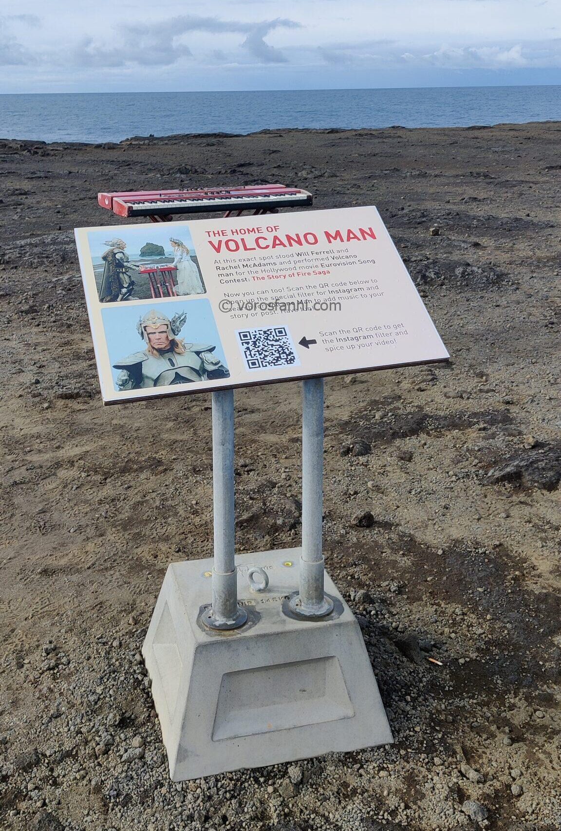
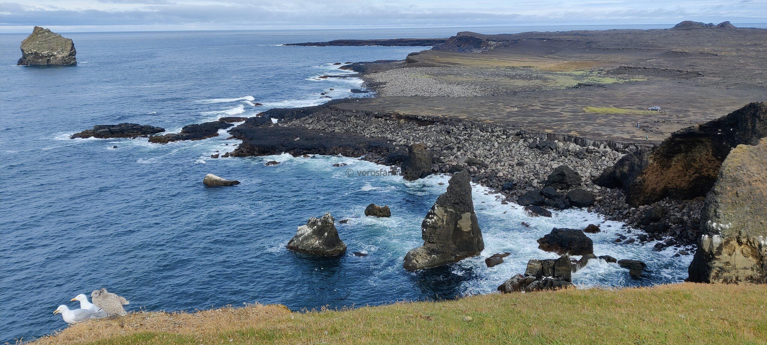
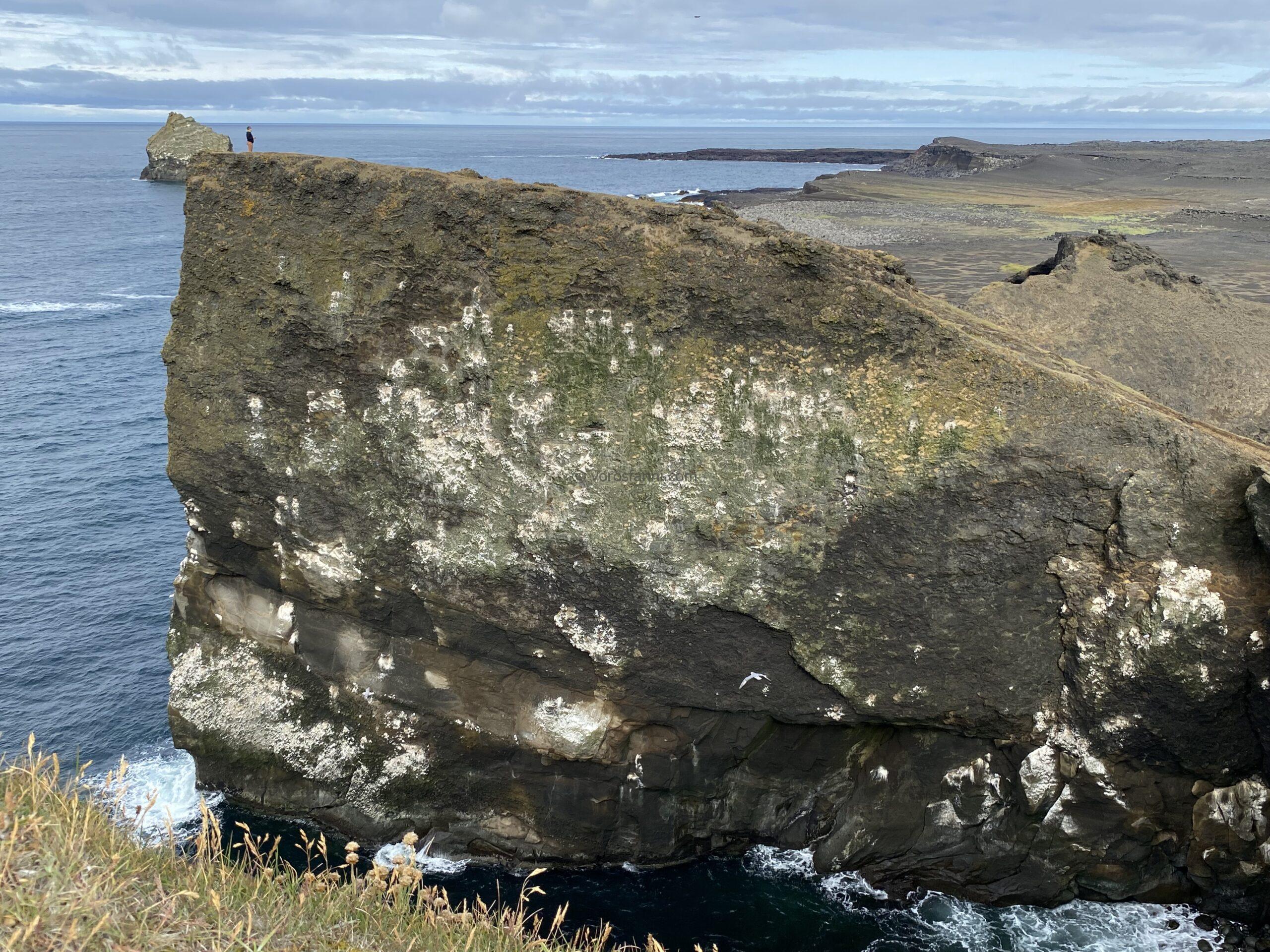
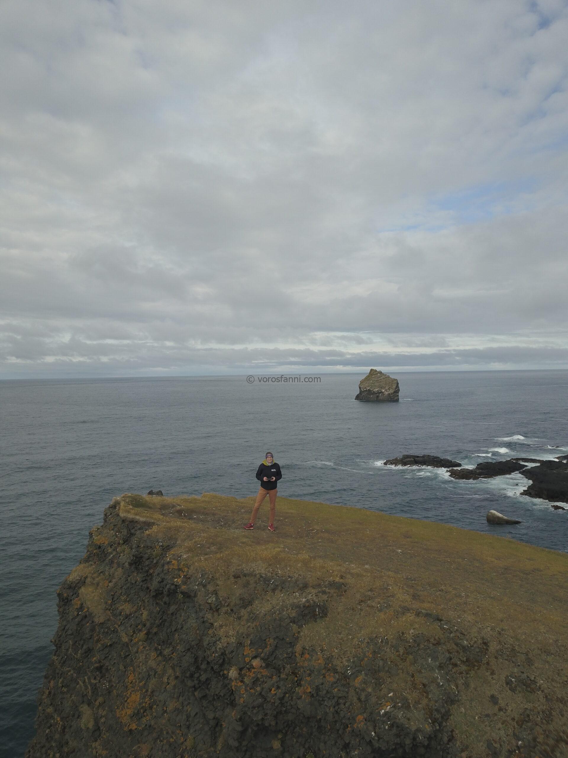
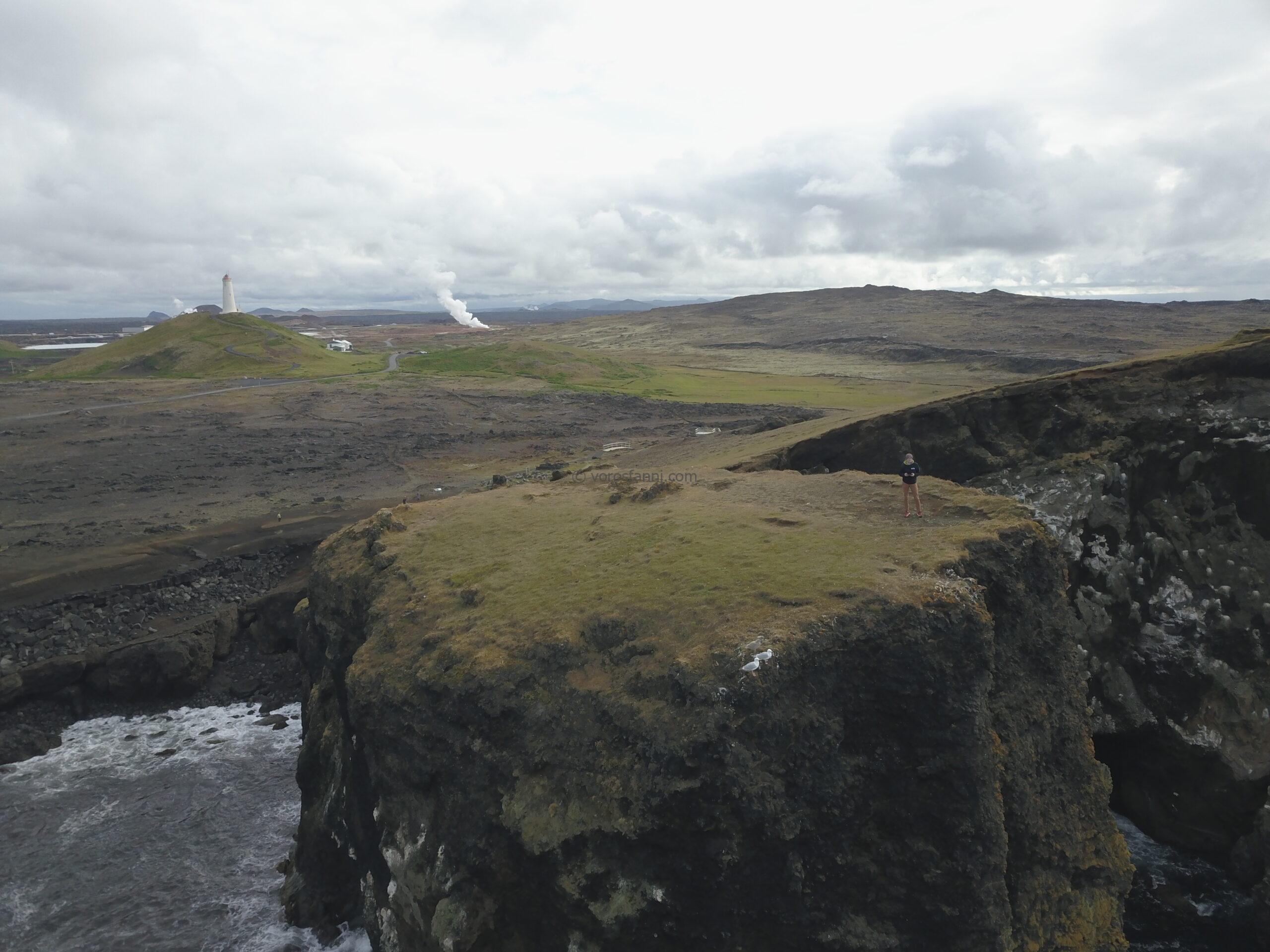
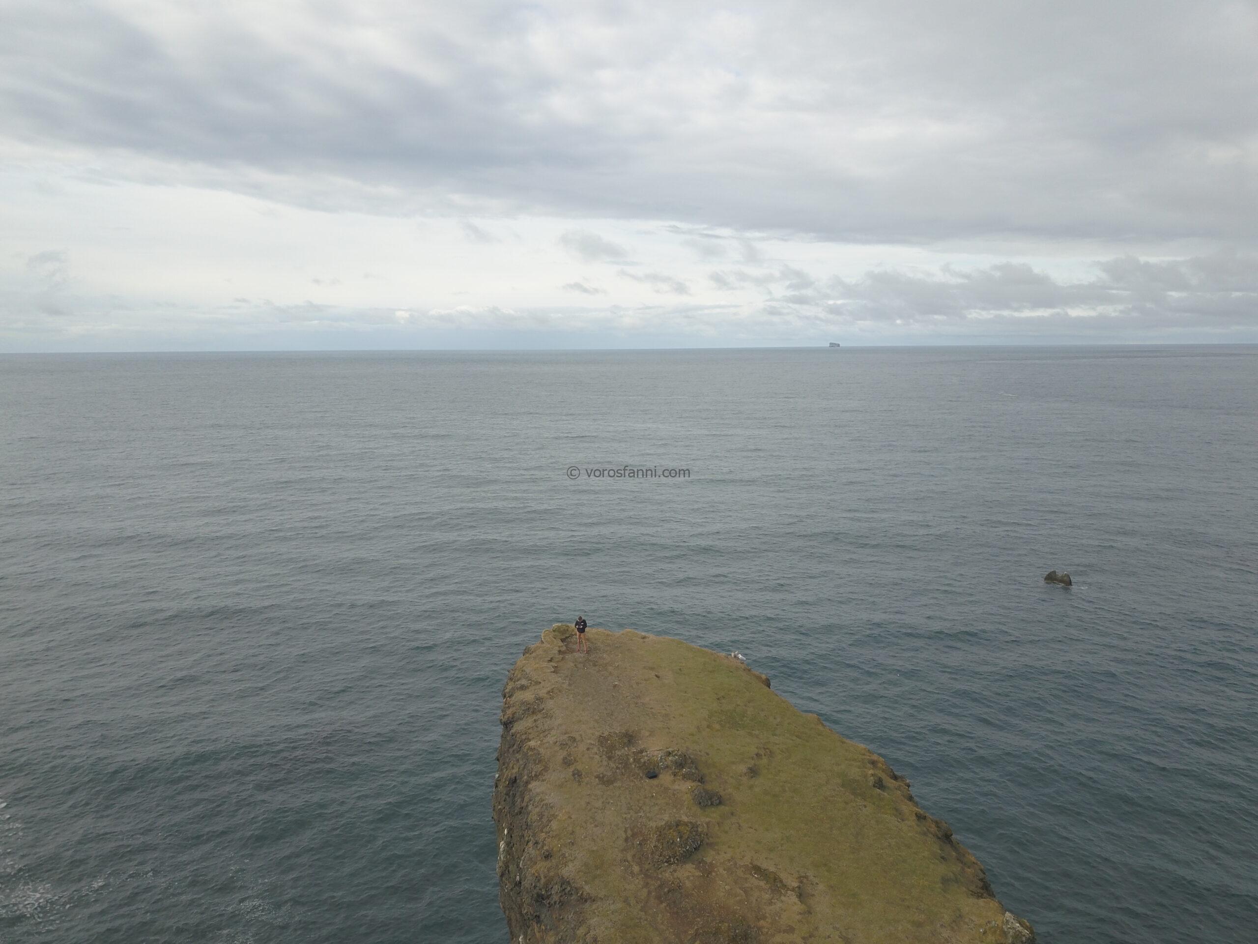
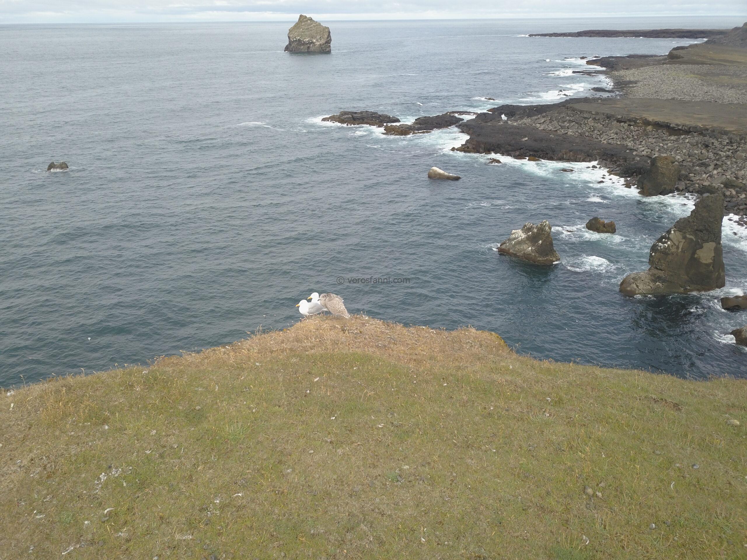
Our first stop was the area around the Reykjanes Lighthouse (Reykjanesviti), which is a truly unique location from a geological perspective. This is the only place in the world where the Mid-Atlantic Ridge, the mid-ocean ridge system that separates the Eurasian and North American tectonic plates, is not hidden deep beneath the ocean but instead rises directly out of the sea and reaches land. Walking among the rocks near the lighthouse, we were literally standing within the spreading zone between the two tectonic plates, along one of the most active fault systems on Earth. Alongside the geological reality, there was also a touch of pop culture: we visited the famous “Volcano Man” piano from the film Netflix Eurovision Song Contest: The Story of Fire Saga.
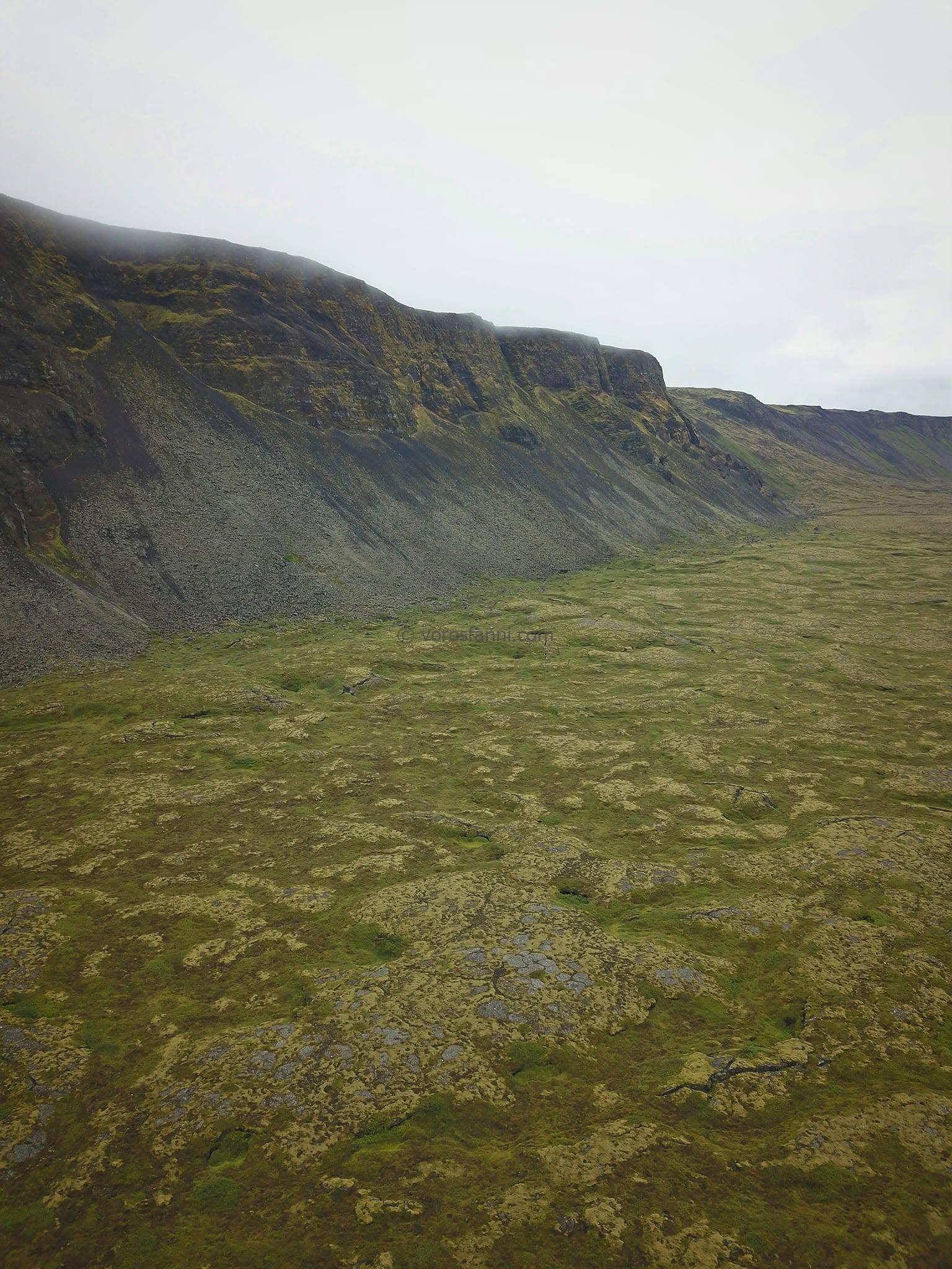
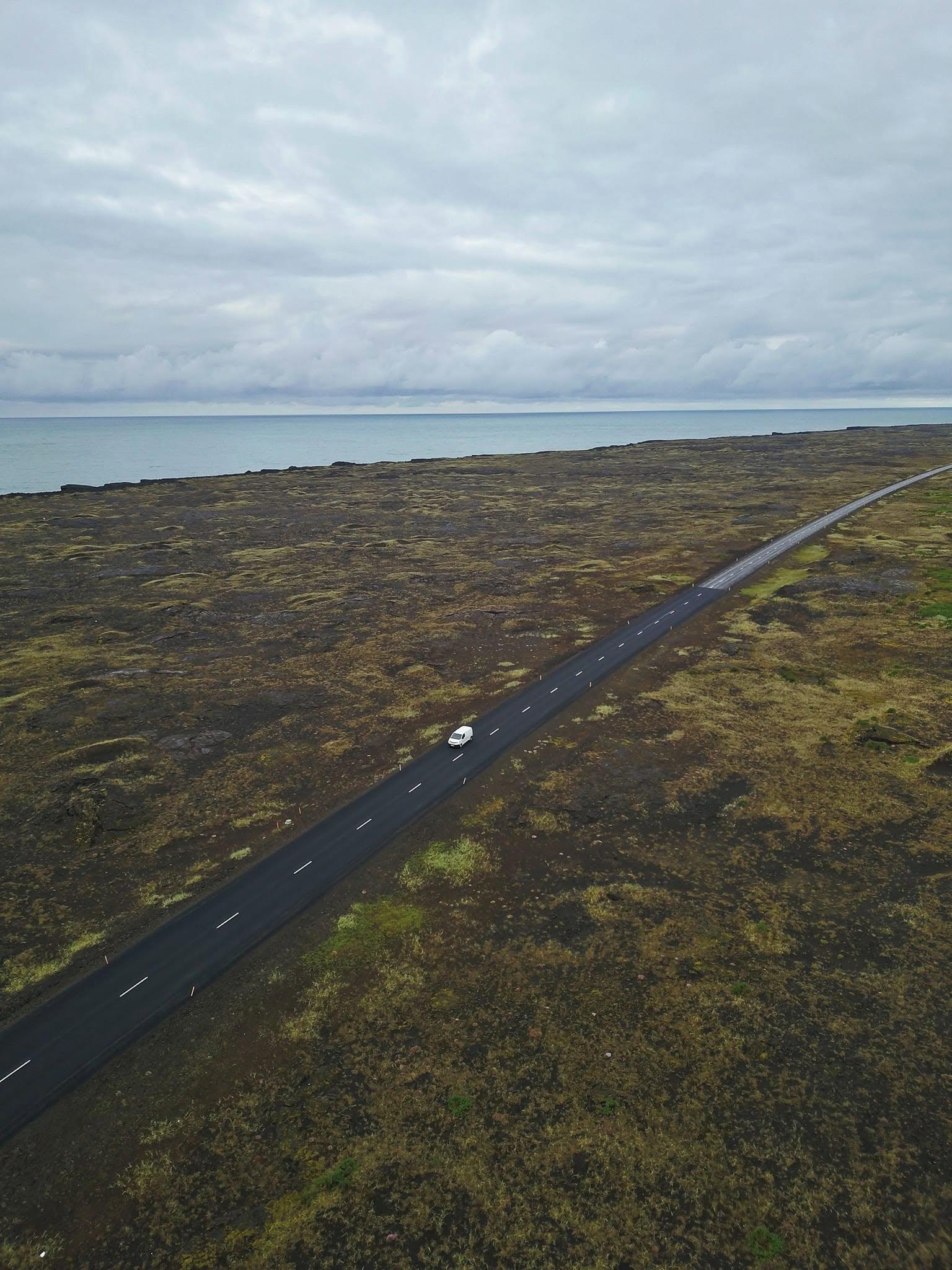
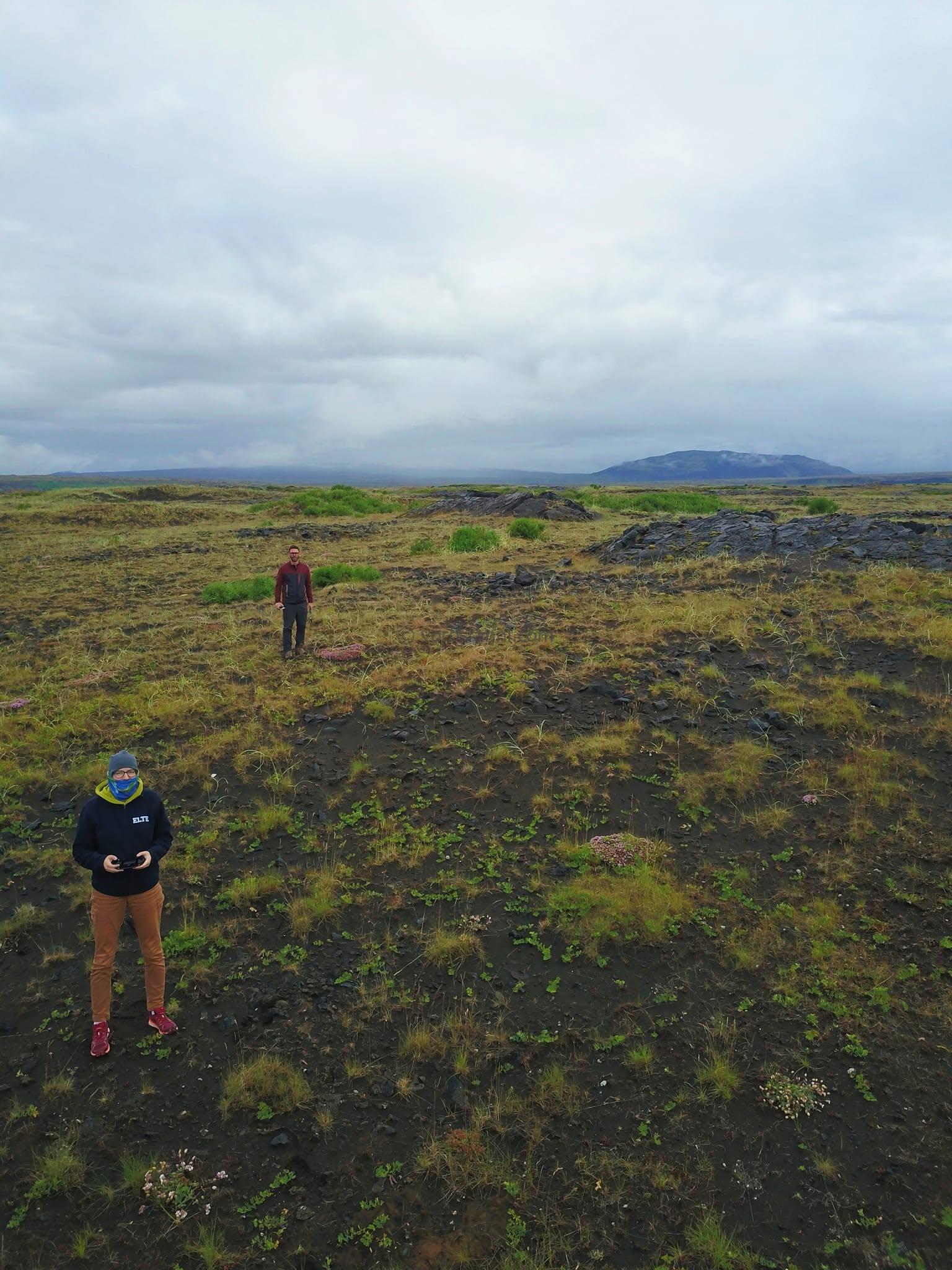
Racing against time: the Litli-Hrútur volcano
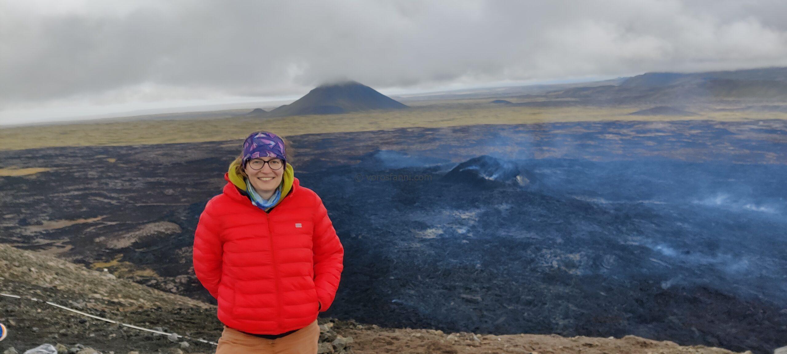
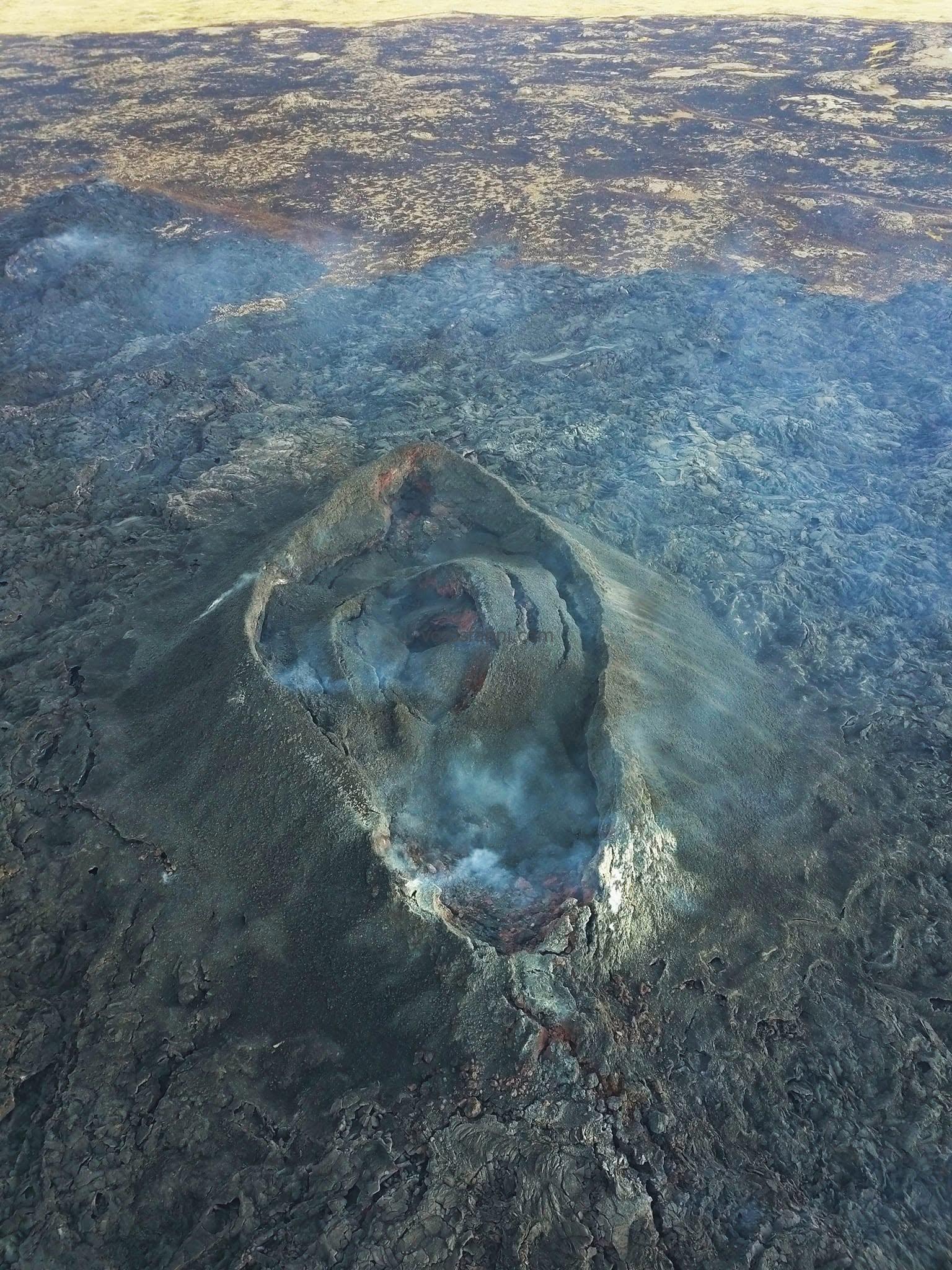
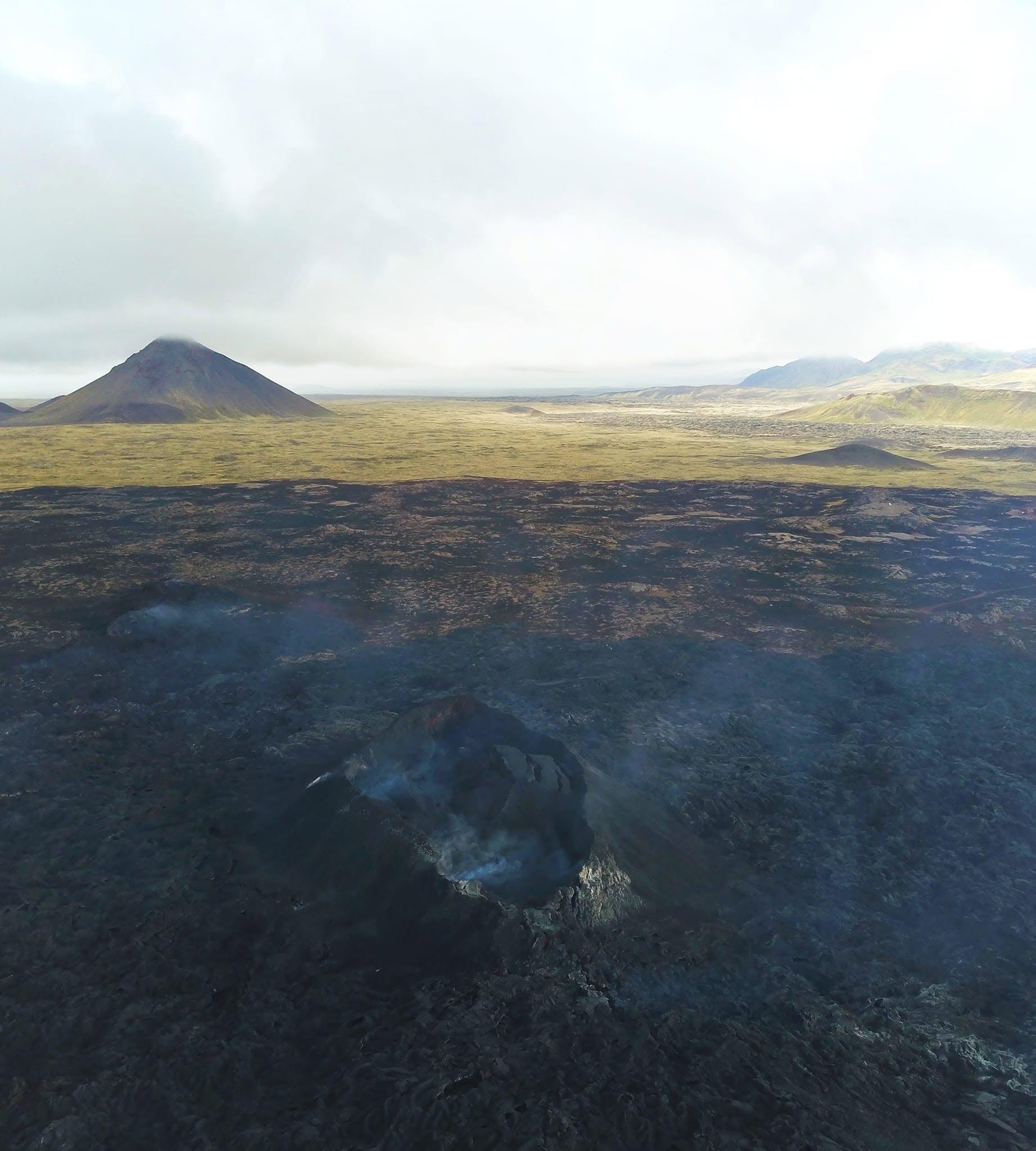
Afterwards, we headed towards the main destination of our journey, the 2023 eruption. Unfortunately, by then we already knew that we had missed the most spectacular part of the event: the volcano had stopped producing lava exactly one day before our arrival.
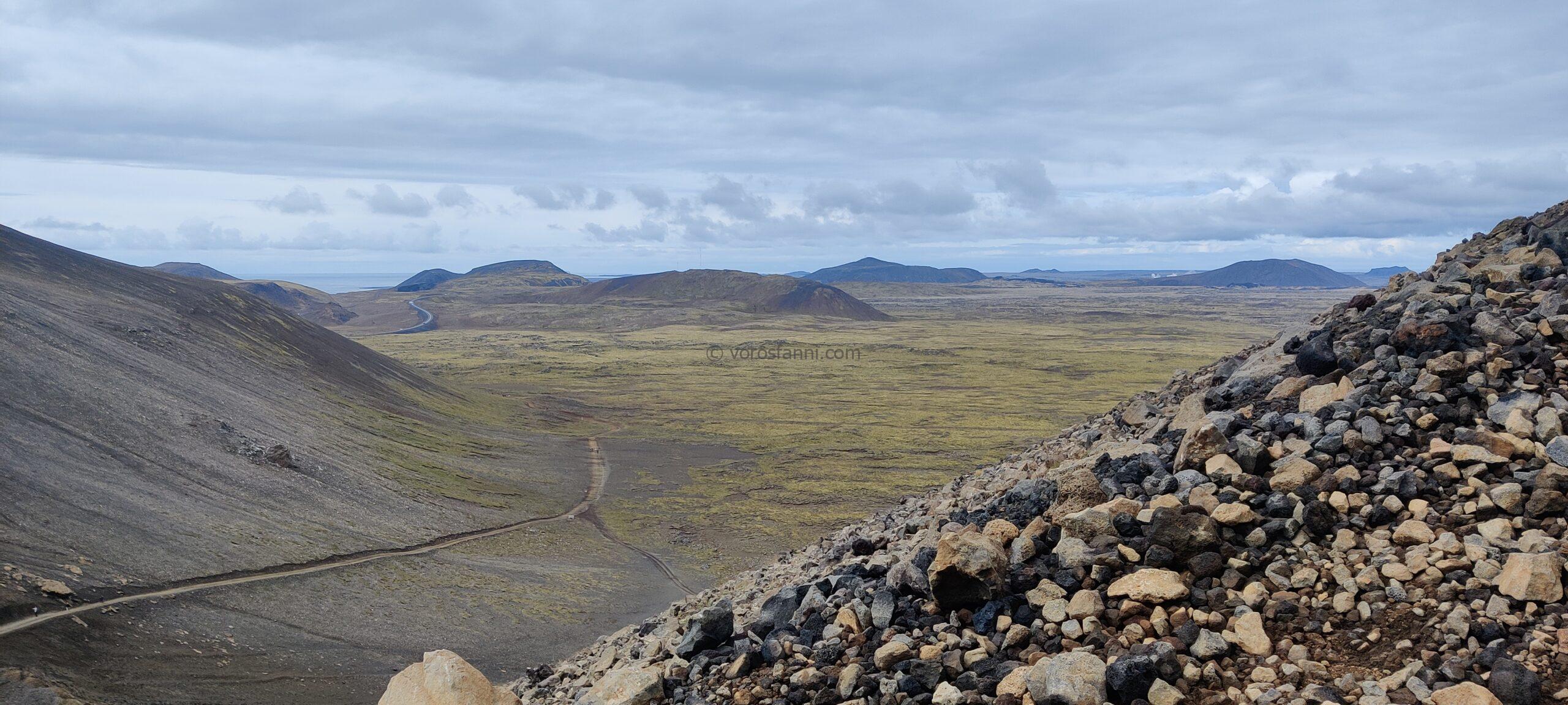
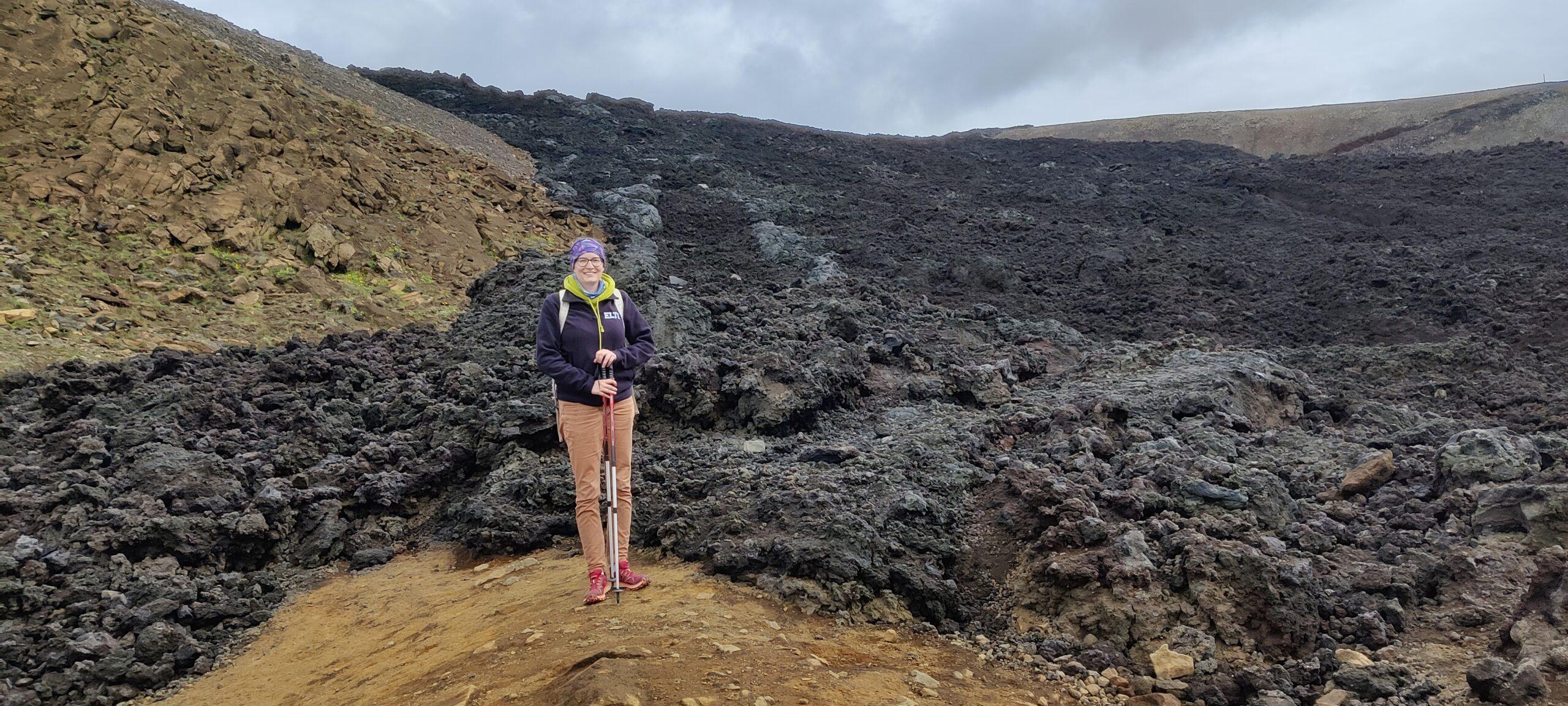
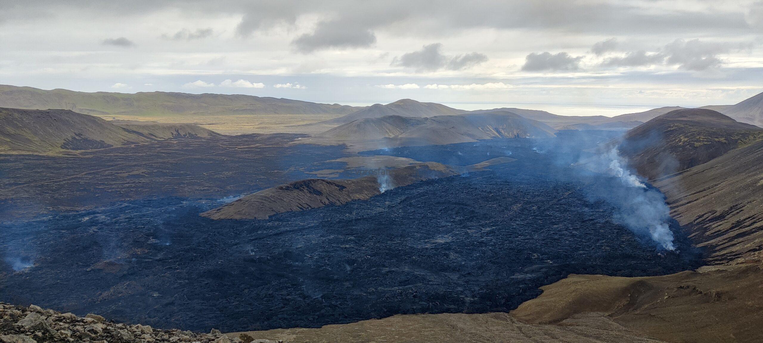
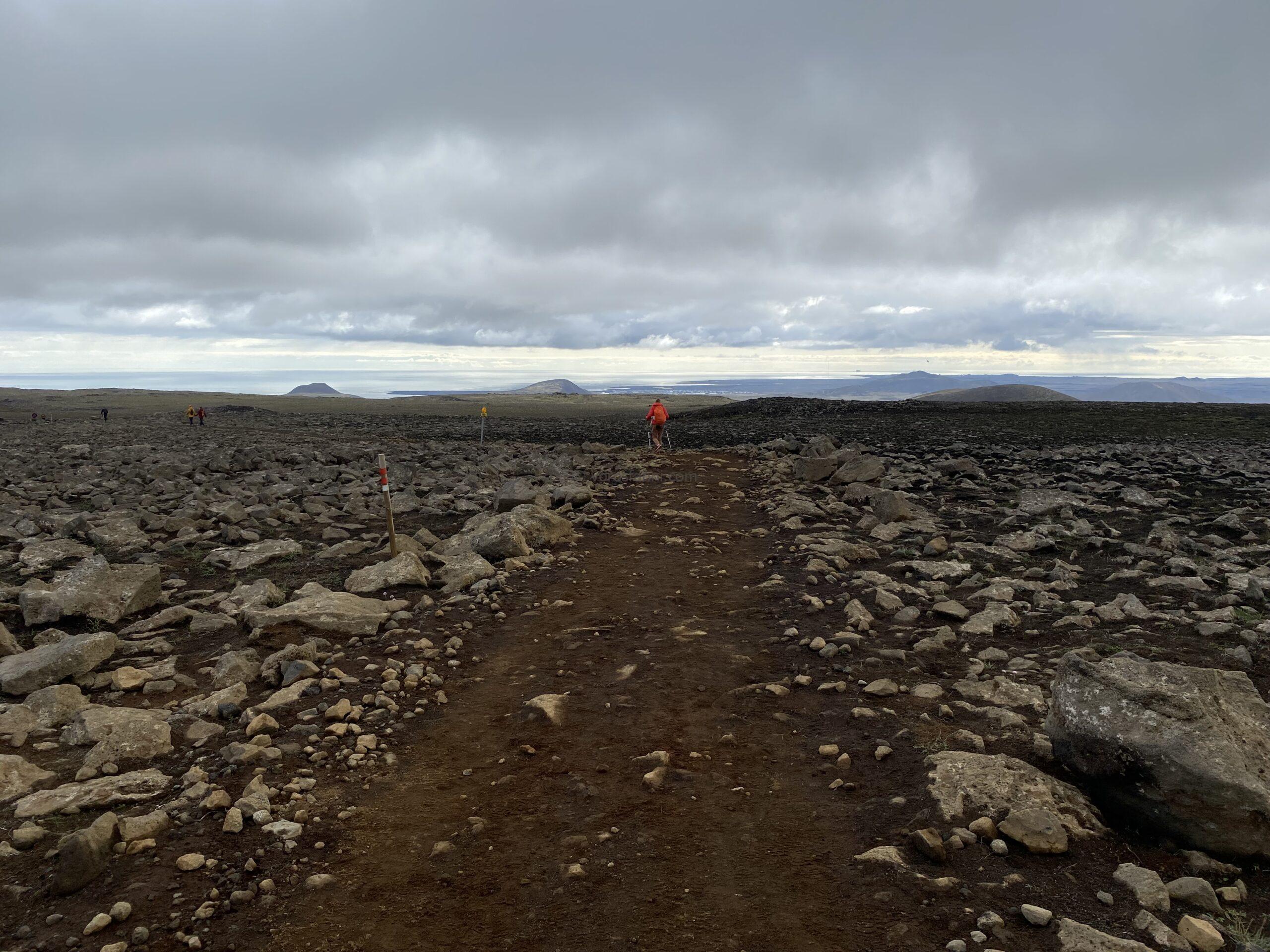
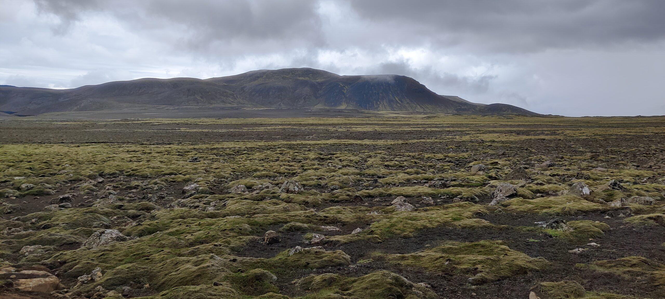
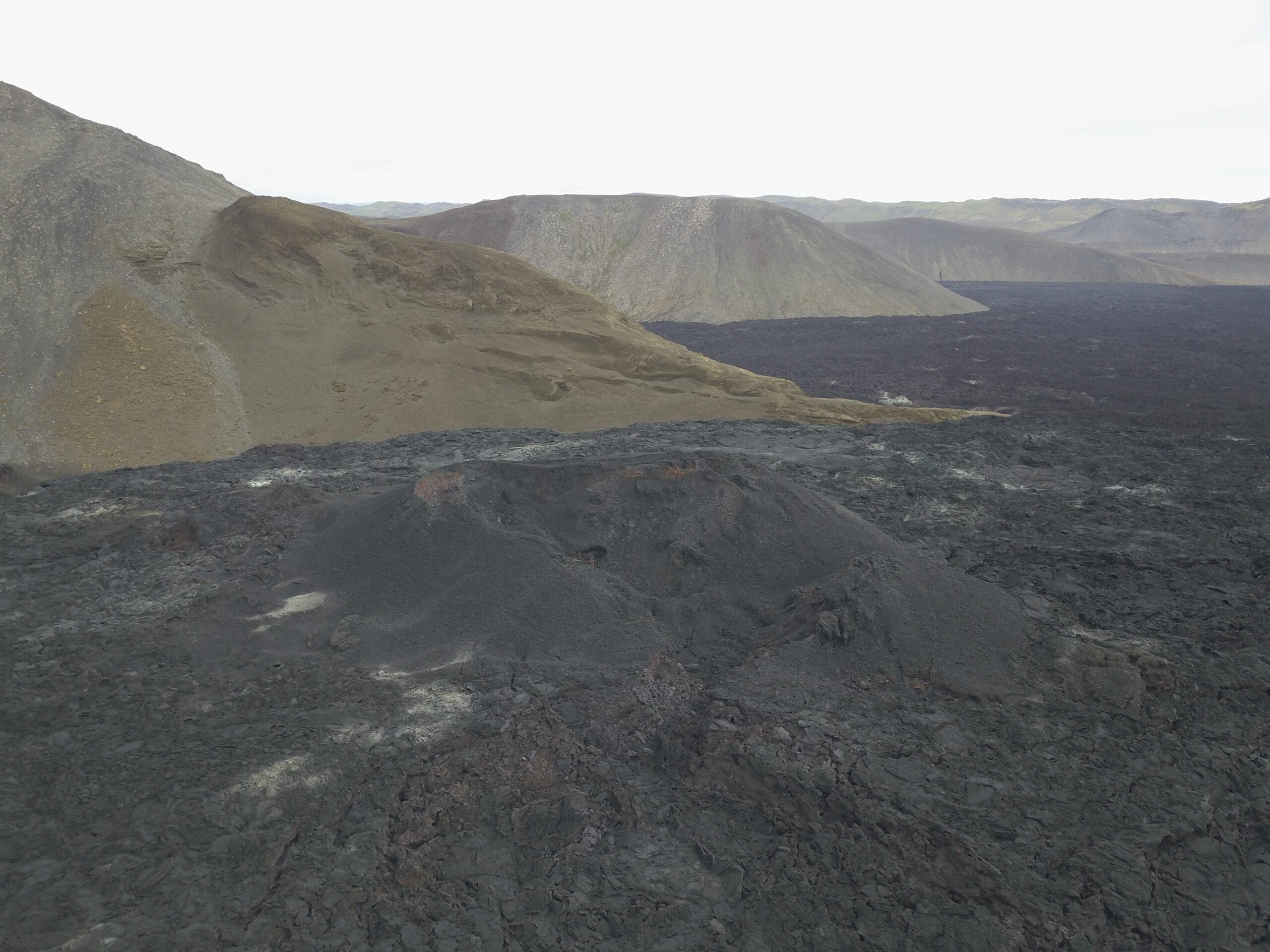
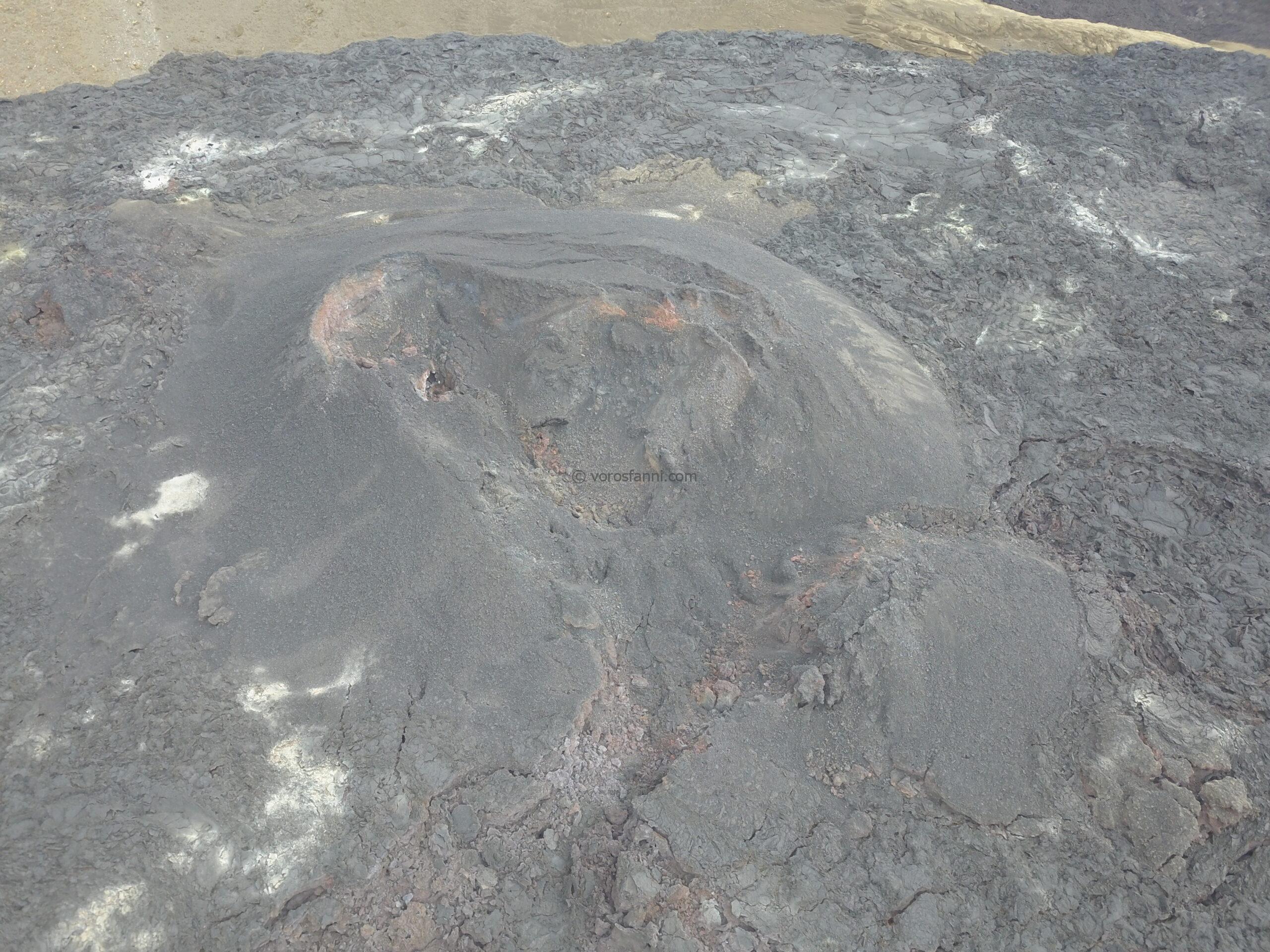
The eruption, which lasted just under a month, took place in the northeastern part of the Fagradalsfjall volcanic system, at the foot of the 312-meter-high Litli-Hrútur (“Little Ram”) mountain, approximately 30 kilometers southwest of Reykjavík. This location lies farther north than the valley eruptions of 2021 and 2022, but it was still at a safe distance from populated areas and critical infrastructure. Since there was no immediate danger, the authorities designated safe hiking routes for visitors. We embarked on a demanding round trip of roughly 18–20 kilometers, passing the solidified black lava fields of the 2021 and 2022 eruption sites along the way.
You can read more about these eruptions on the Tűzhányó Blog here:
What can a piece of rock tell us?
Although we missed the glowing lava flows, I brought home a special souvenir from the site: a few-week-old, vesicular, fully degassed lava crust. This rock is a perfect textbook example of volcanic processes. The numerous small and large cavities running through it are known as vesicles. As magma rises from depth, the decrease in pressure causes the dissolved gases within it (mainly water vapor, carbon dioxide, and sulfur dioxide) to suddenly expand and form bubbles. Because lava cools extremely rapidly upon reaching the surface, the spaces occupied by these gas bubbles become permanently preserved within the rock. Two clearly distinct zones can be identified, representing different stages of the cooling and degassing process:
The upper part of the sample: Here, very small, finely structured lava stalactites can be observed. These formed when the lava supply began to decrease and a gap developed between the already solidified outer lava crust and the still more fluid lava beneath it. The lower part of the crust, which remained intensely hot, then began to sag downward under the influence of gravity, creating tiny stalactite-like formations.
The lower part of the sample: This section displays a finer, denser vesicular structure, a classic degassed texture. The dark gray, almost black color of the rock clearly indicates a mafic (basaltic) composition rich in iron and magnesium.

Waterfalls in solitude and the giants of the Golden Circle
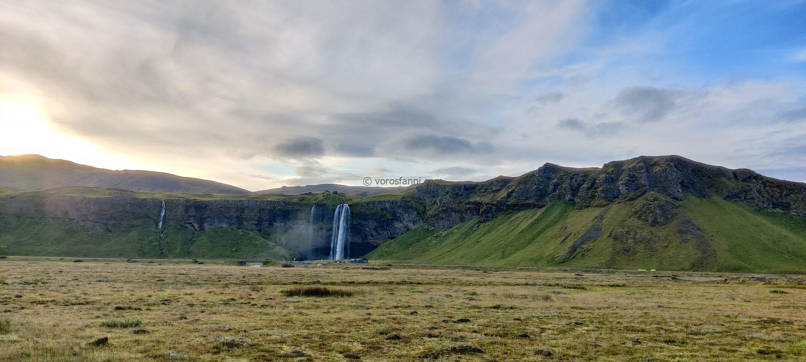
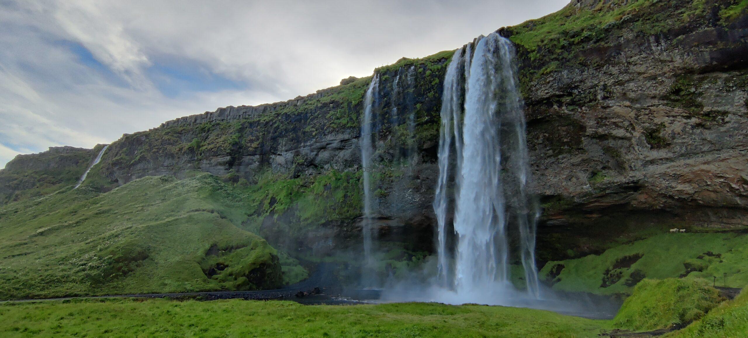
After our nearly 20-kilometer volcano hike, we headed towards Reykjavík for a quick dinner, then, with the accelerator firmly pressed down, drove to the southern part of the island. Night caught up with us near the Seljalandsfoss waterfall.
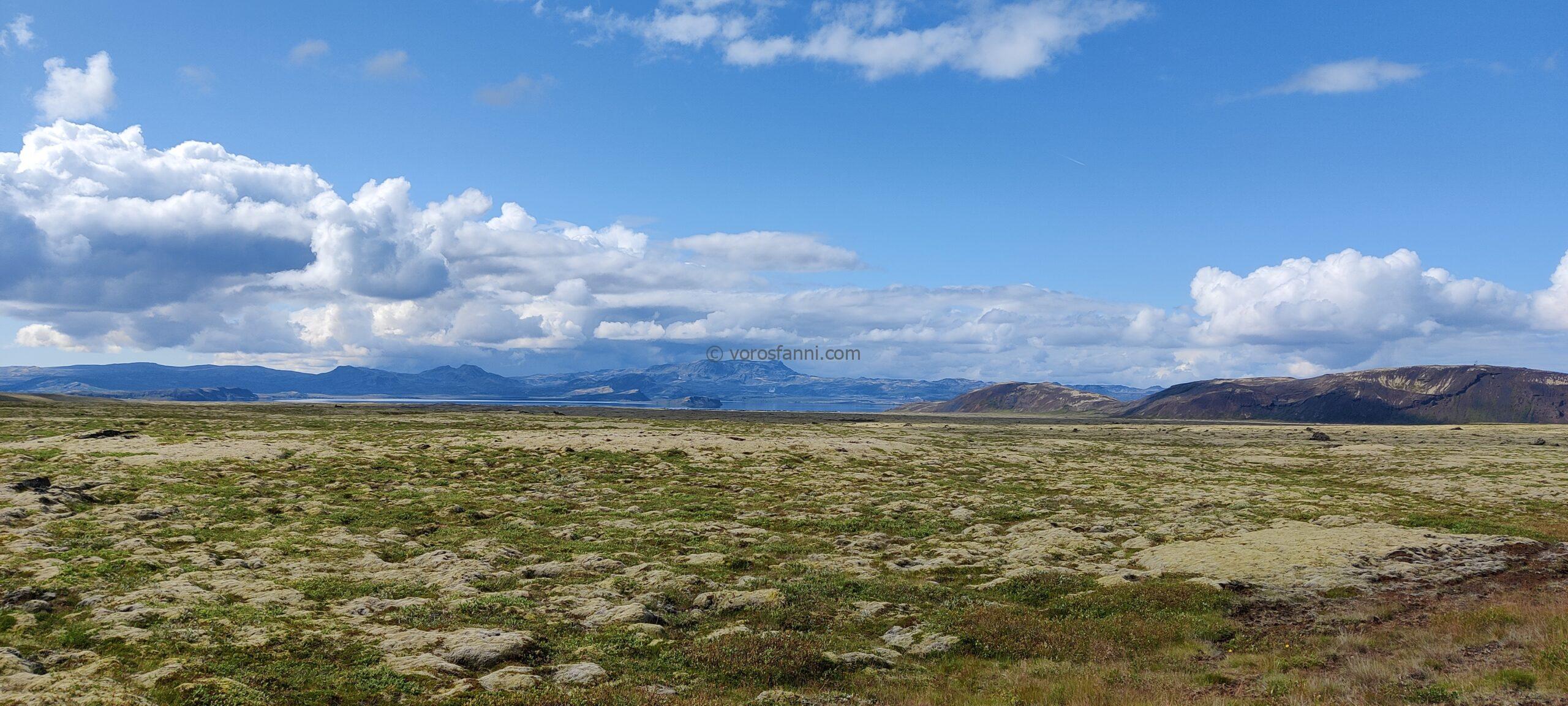
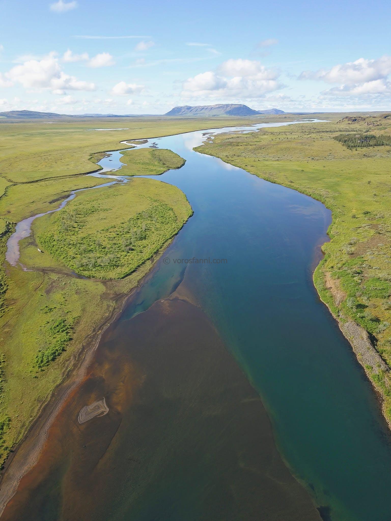
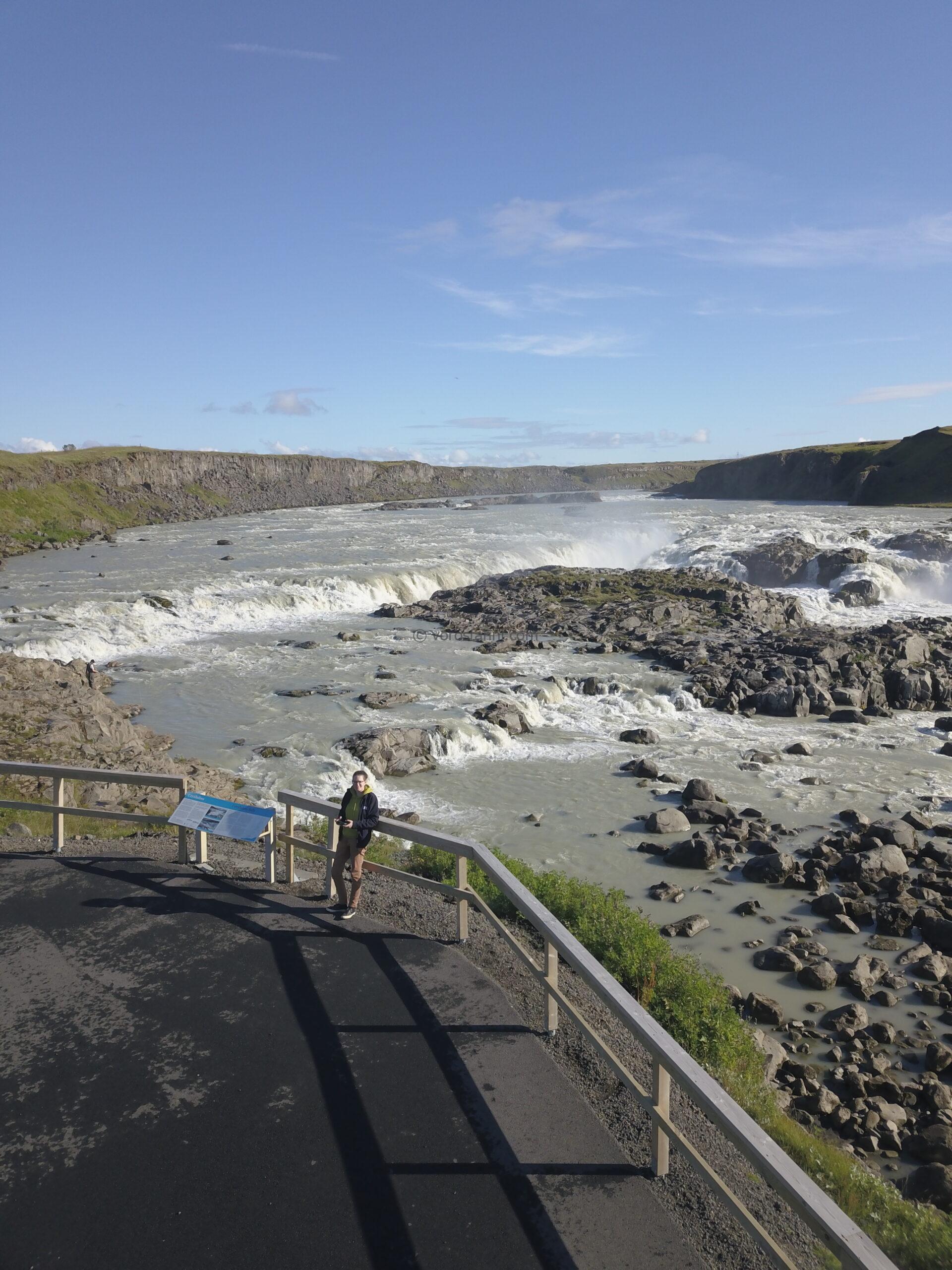
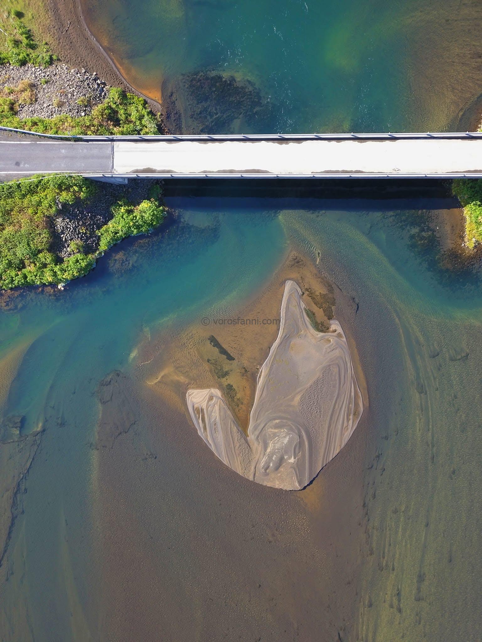
This fast-paced schedule came with a major advantage: when we set out the next morning, there was still no sign of visitors at the popular tourist attraction. We were able to admire the monumental waterfall in complete solitude, without the usual crowds. On this day, we also stayed true to our spontaneous style of travel: whenever we spotted something beautiful along the way, we stopped, took photographs, and sent the drone up as well. We were not interested exclusively in the must-see attractions.
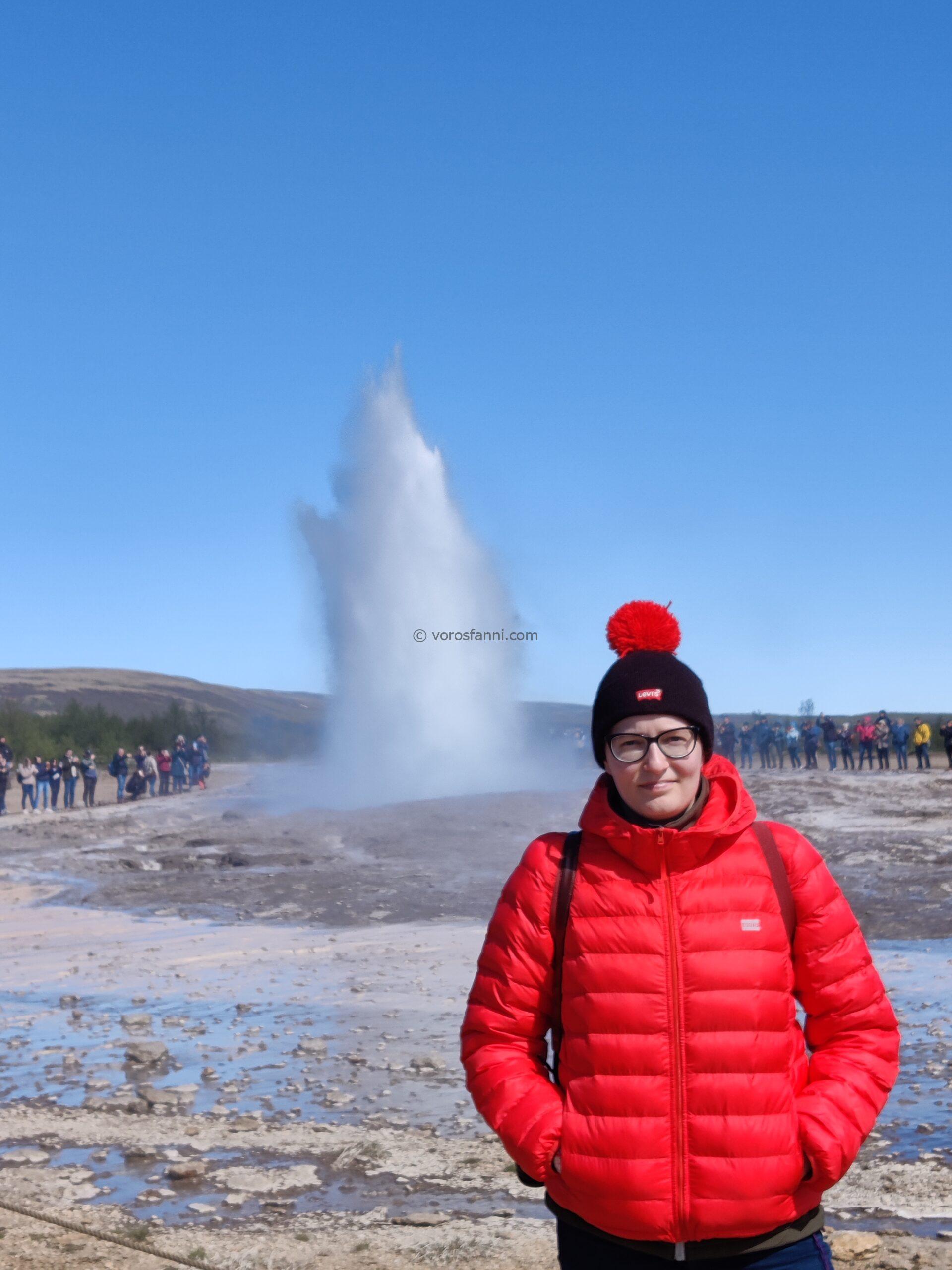
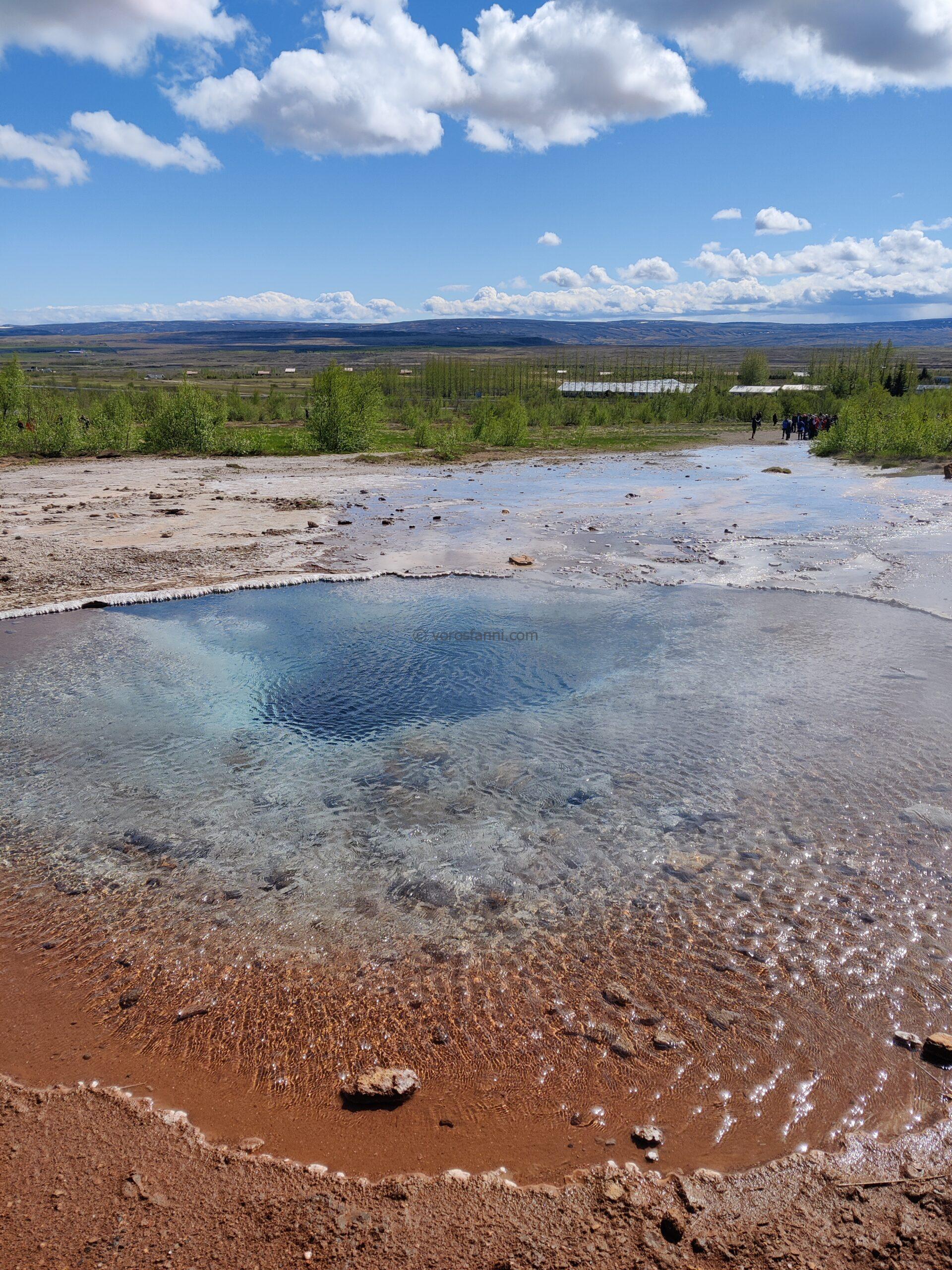
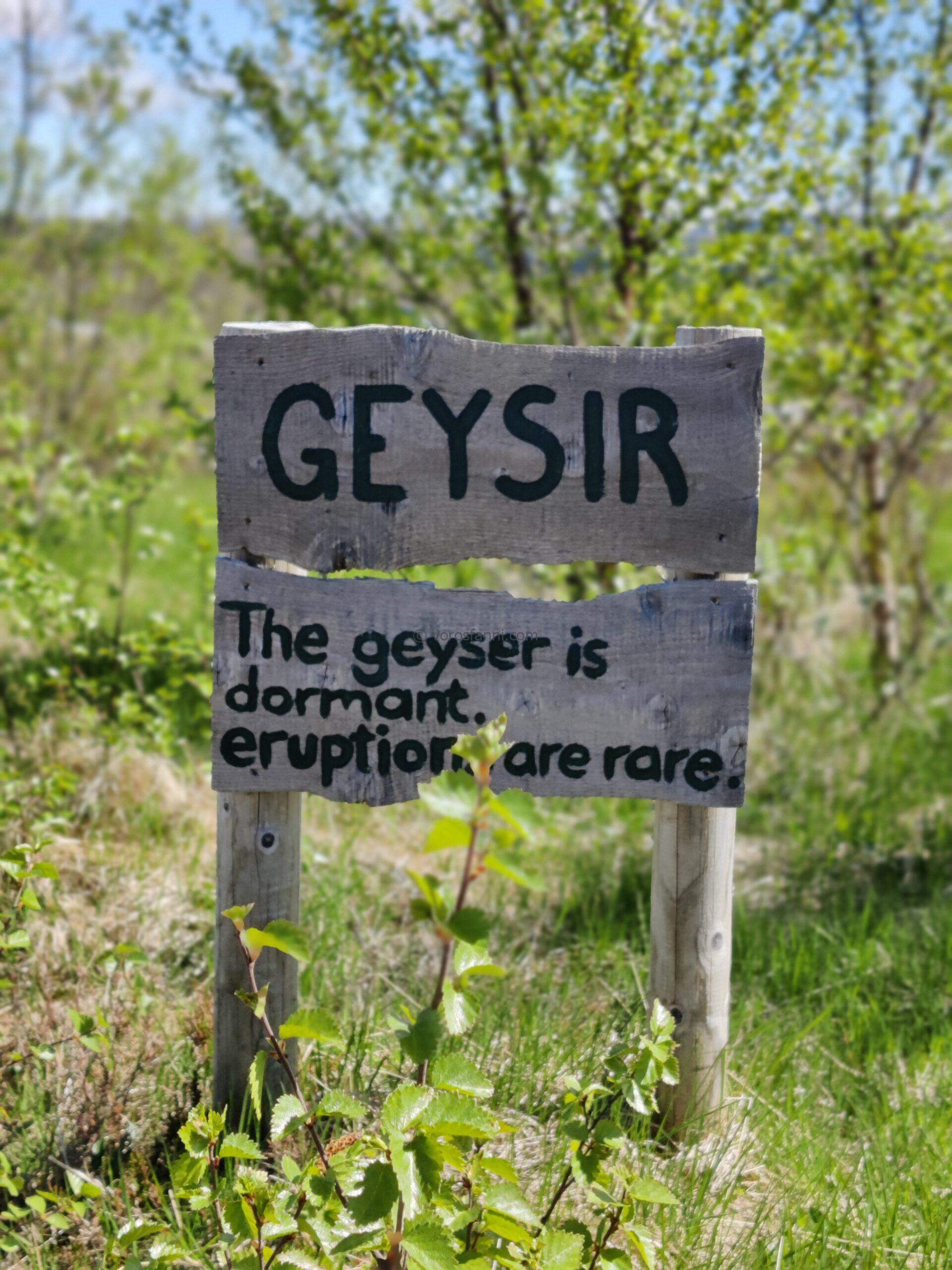
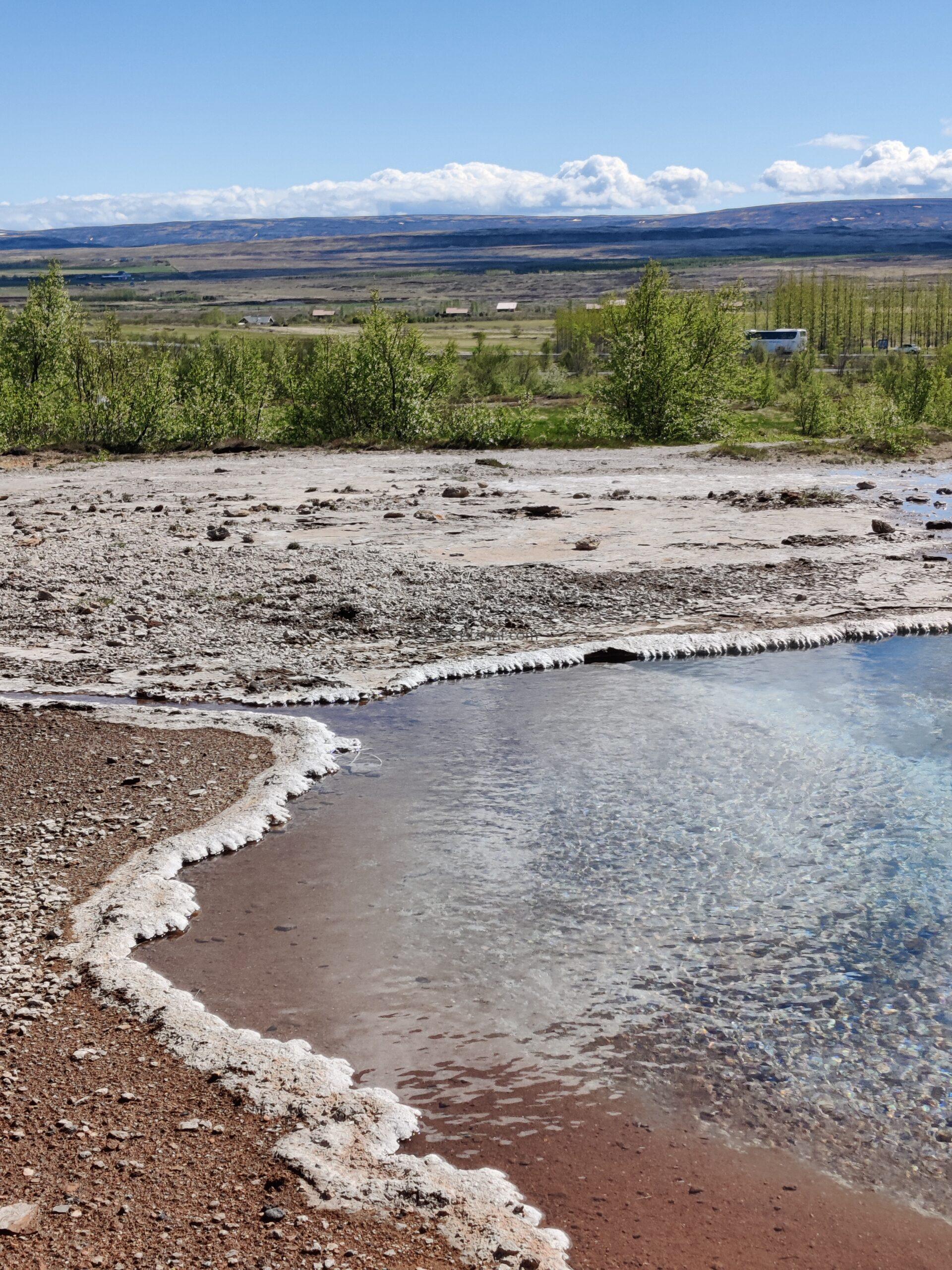
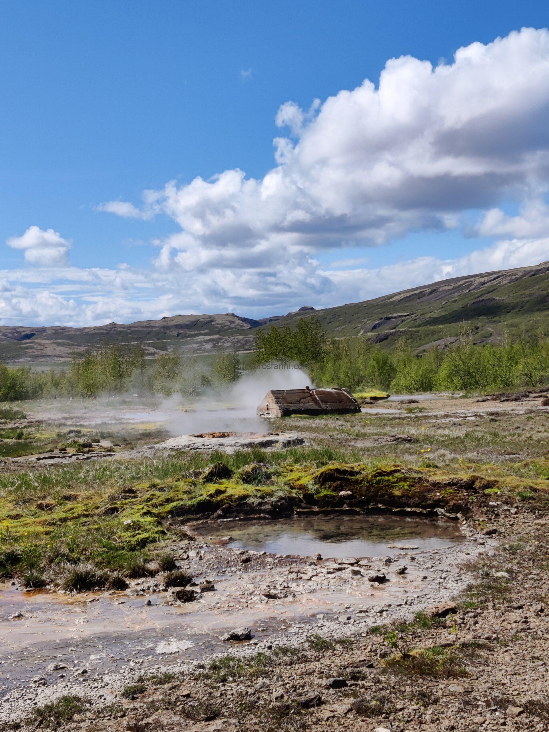
Naturally, we could not pass by the most famous geological formations without paying them a visit. We stopped at the Geysir geothermal area, after which all the world’s other geysers were named. Although the “Great” Geysir now erupts only rarely and unpredictably, sometimes remaining dormant for years due to blocked conduits or the absence of seismic activity, its immediate neighbor, Strokkur, operates with clockwork precision. Roughly every 5 to 10 minutes, it shoots a column of water 20 to 40 meters into the air, providing a spectacular demonstration of the hydrothermal energy hidden beneath the surface.
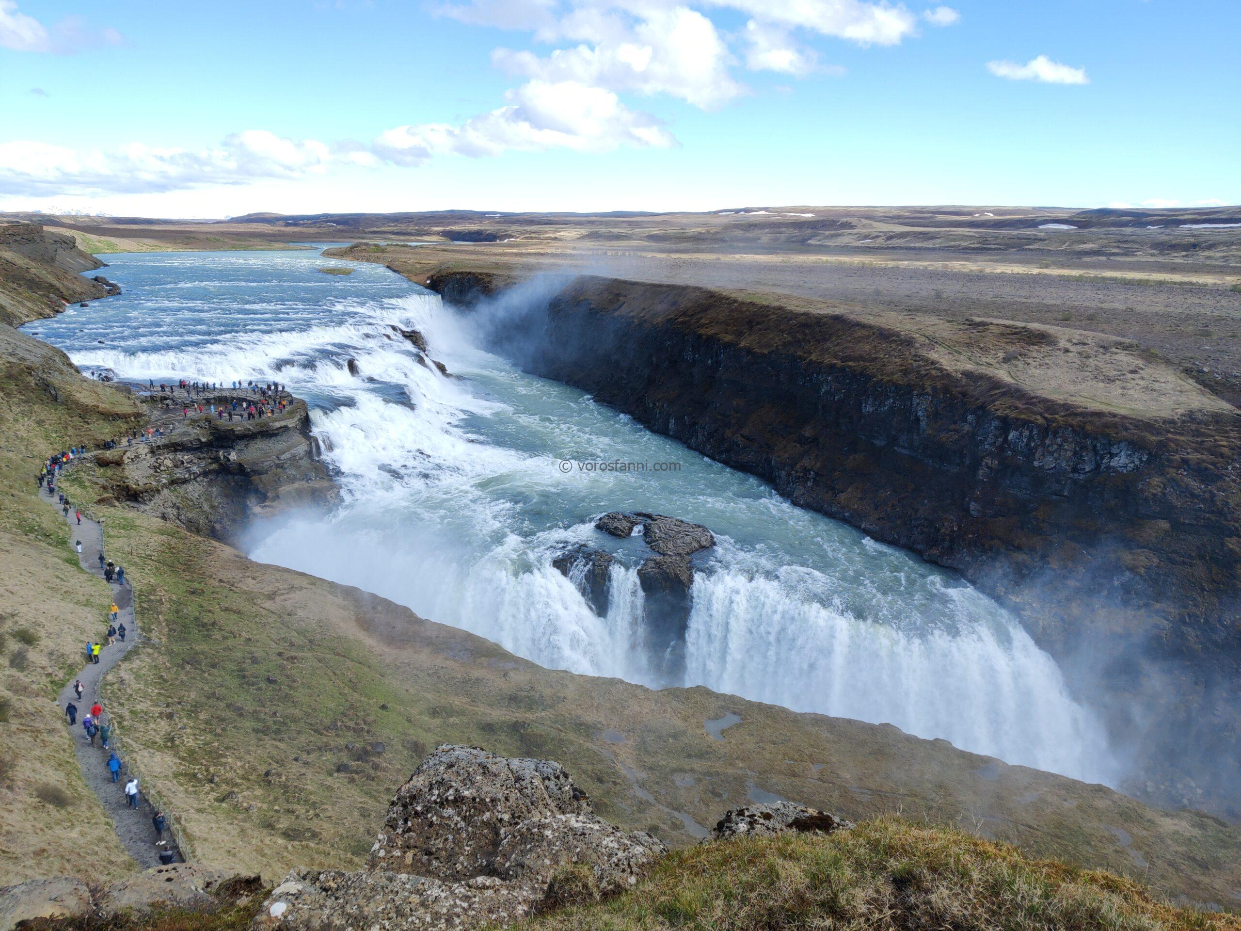
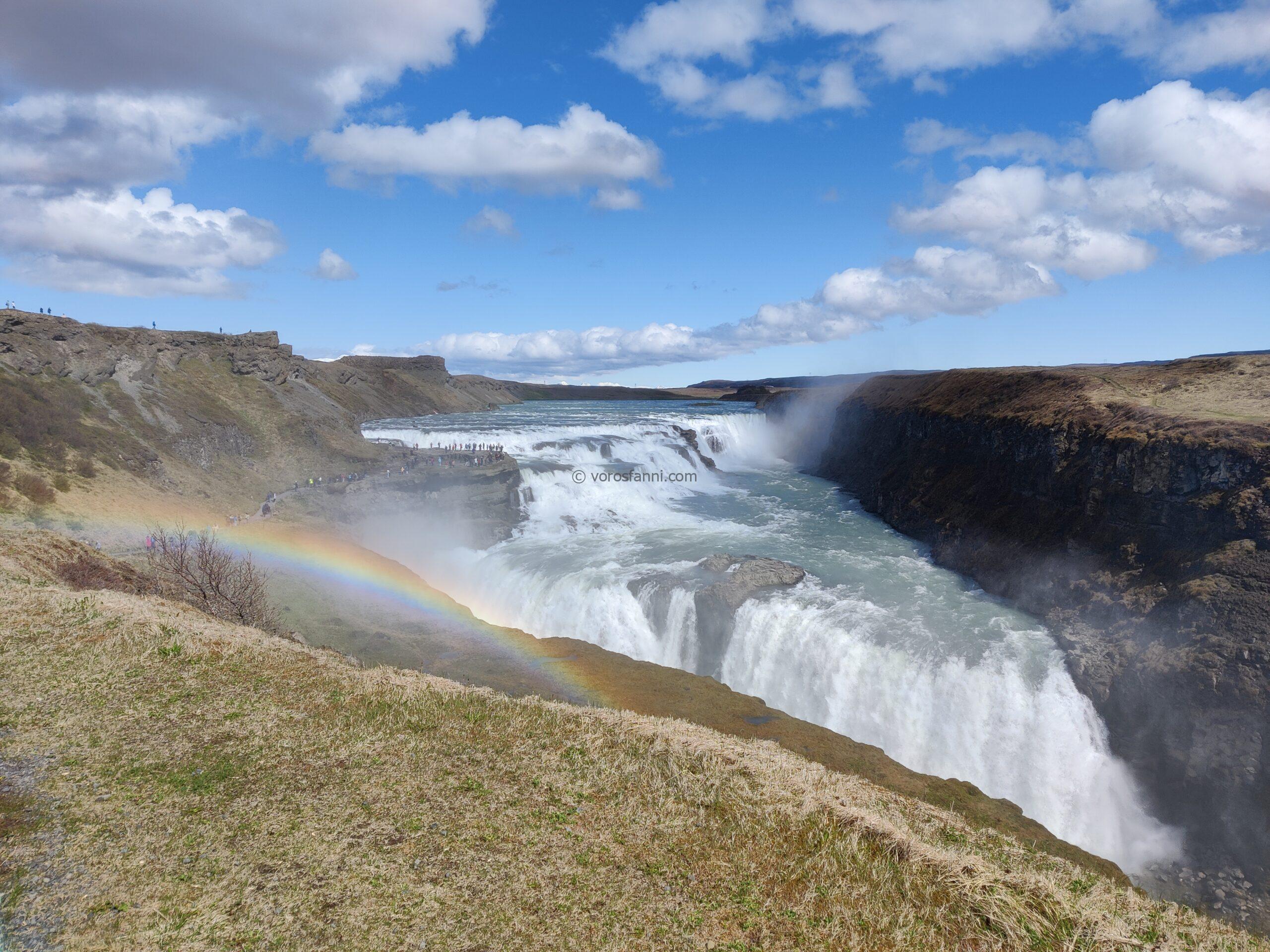
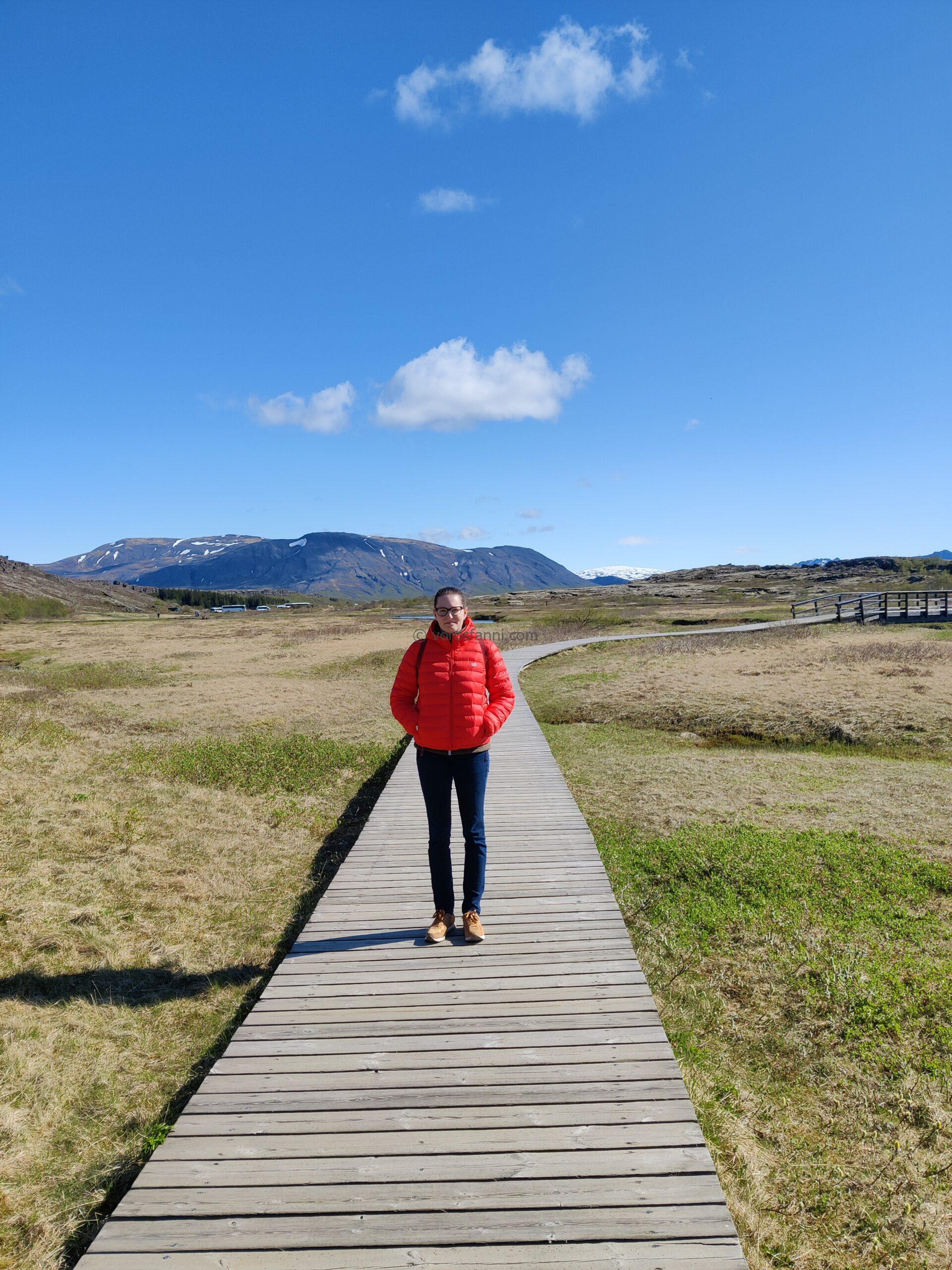
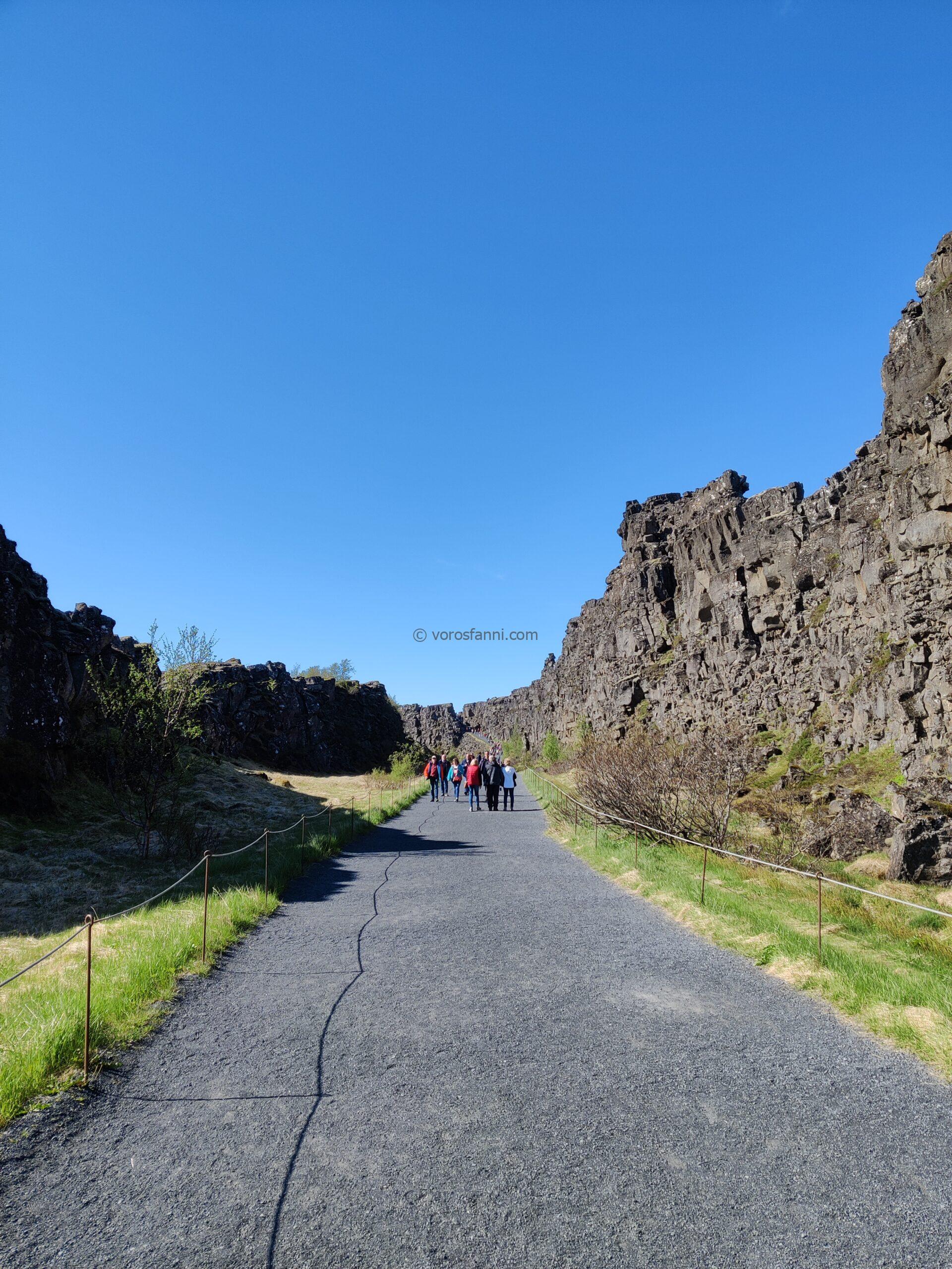
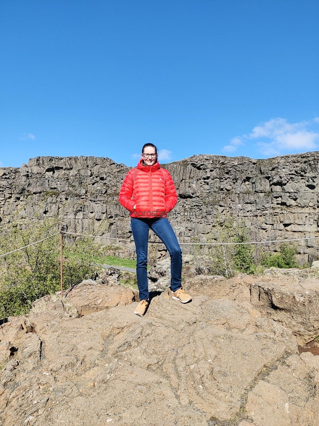
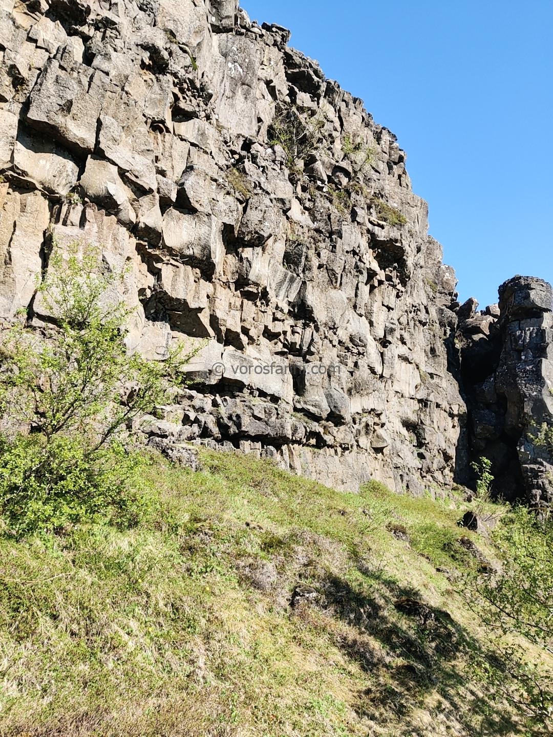
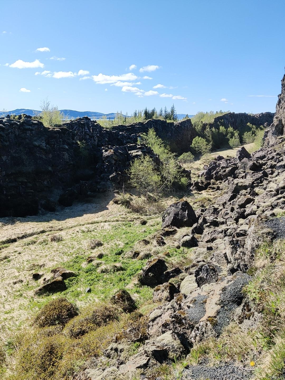
We then continued our journey towards the monumental Gullfoss (Golden Falls) before making a stop at Þingvellir National Park. This site holds immense historical and geological significance: it was here that the Icelandic tribes founded one of the world’s earliest parliaments (the Alþingi) in 930, and while admiring the landscape, one can clearly see with the naked eye the massive fault lines that mark the separation of the North American and Eurasian tectonic plates.
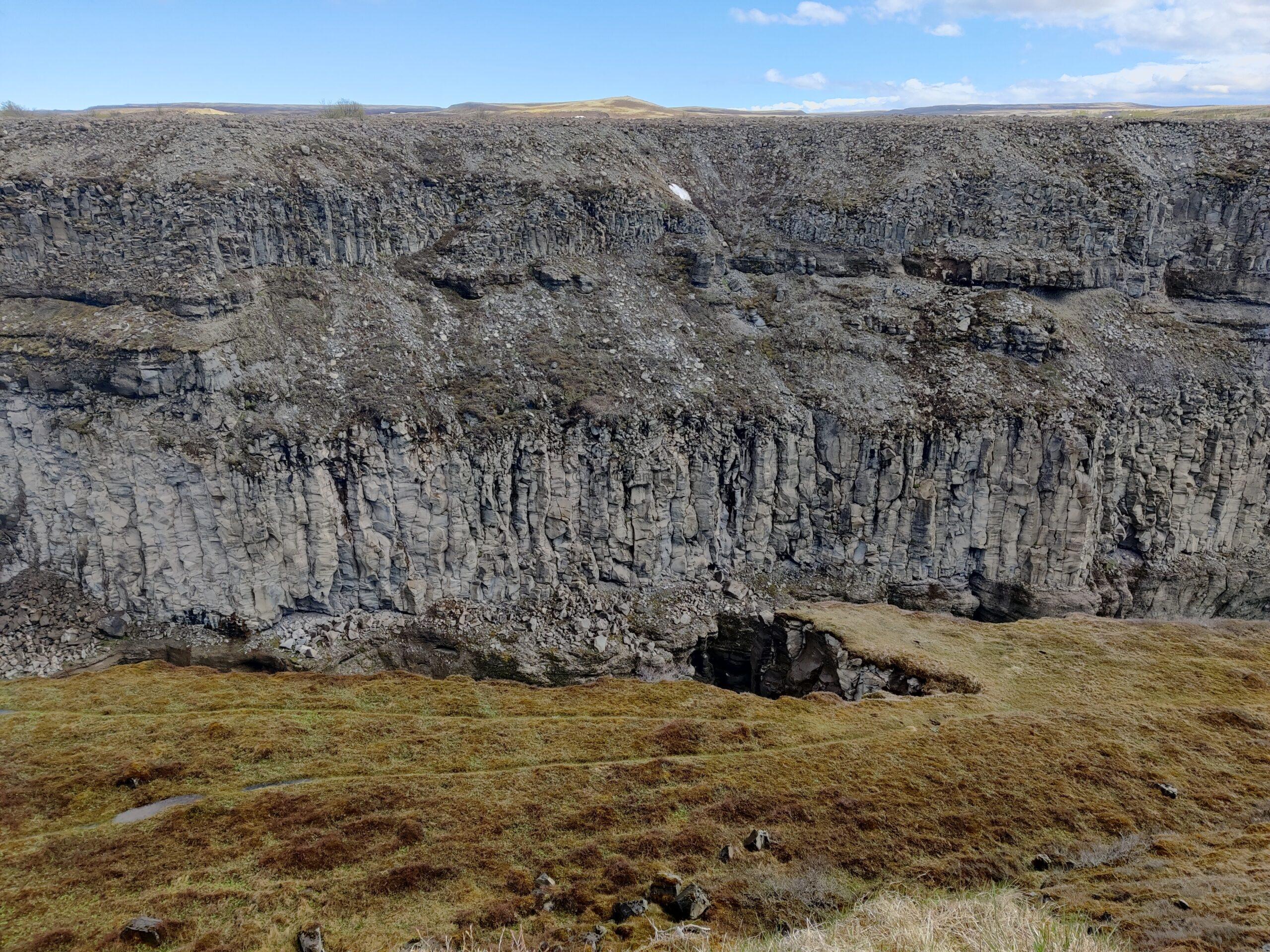
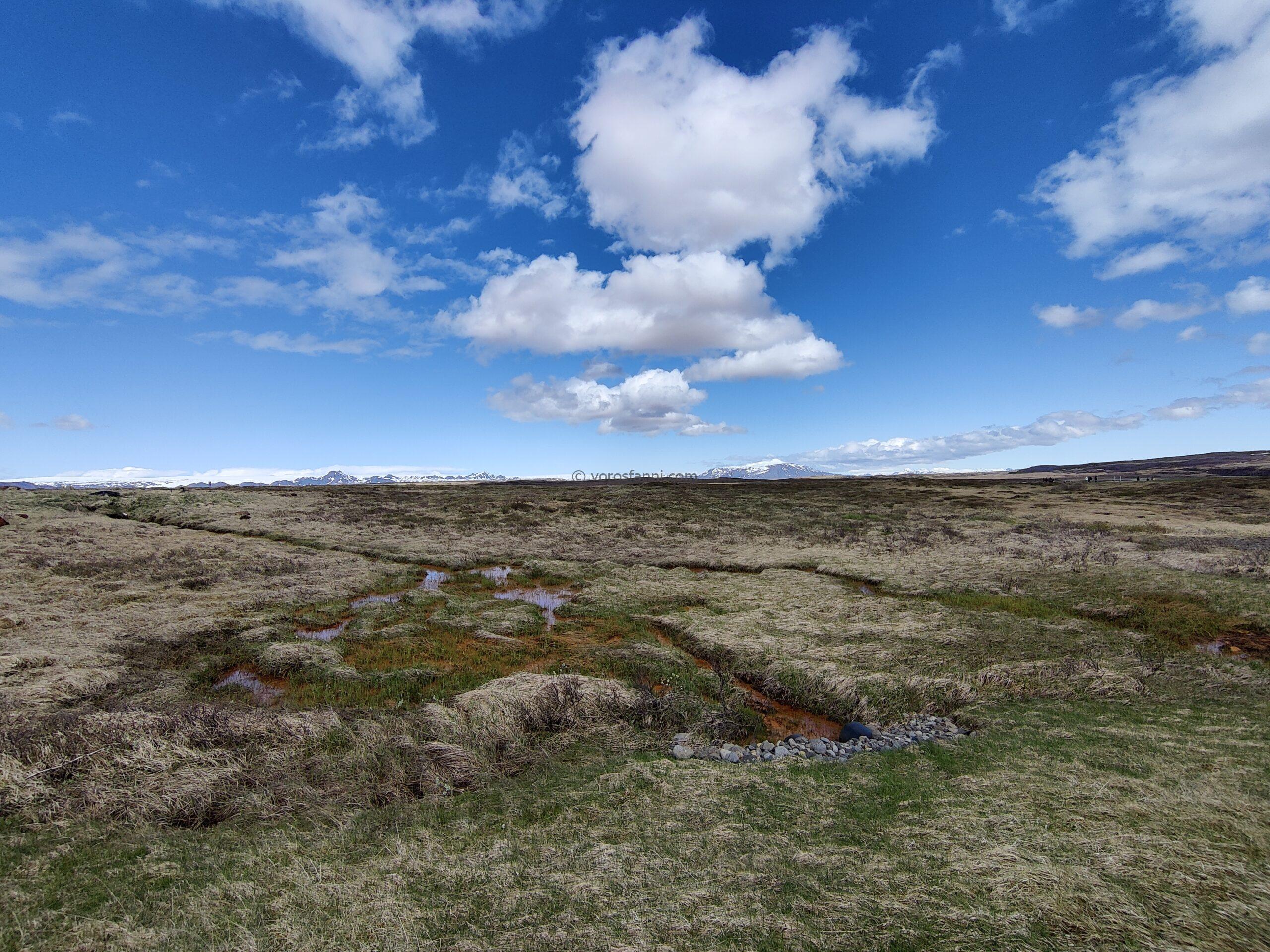
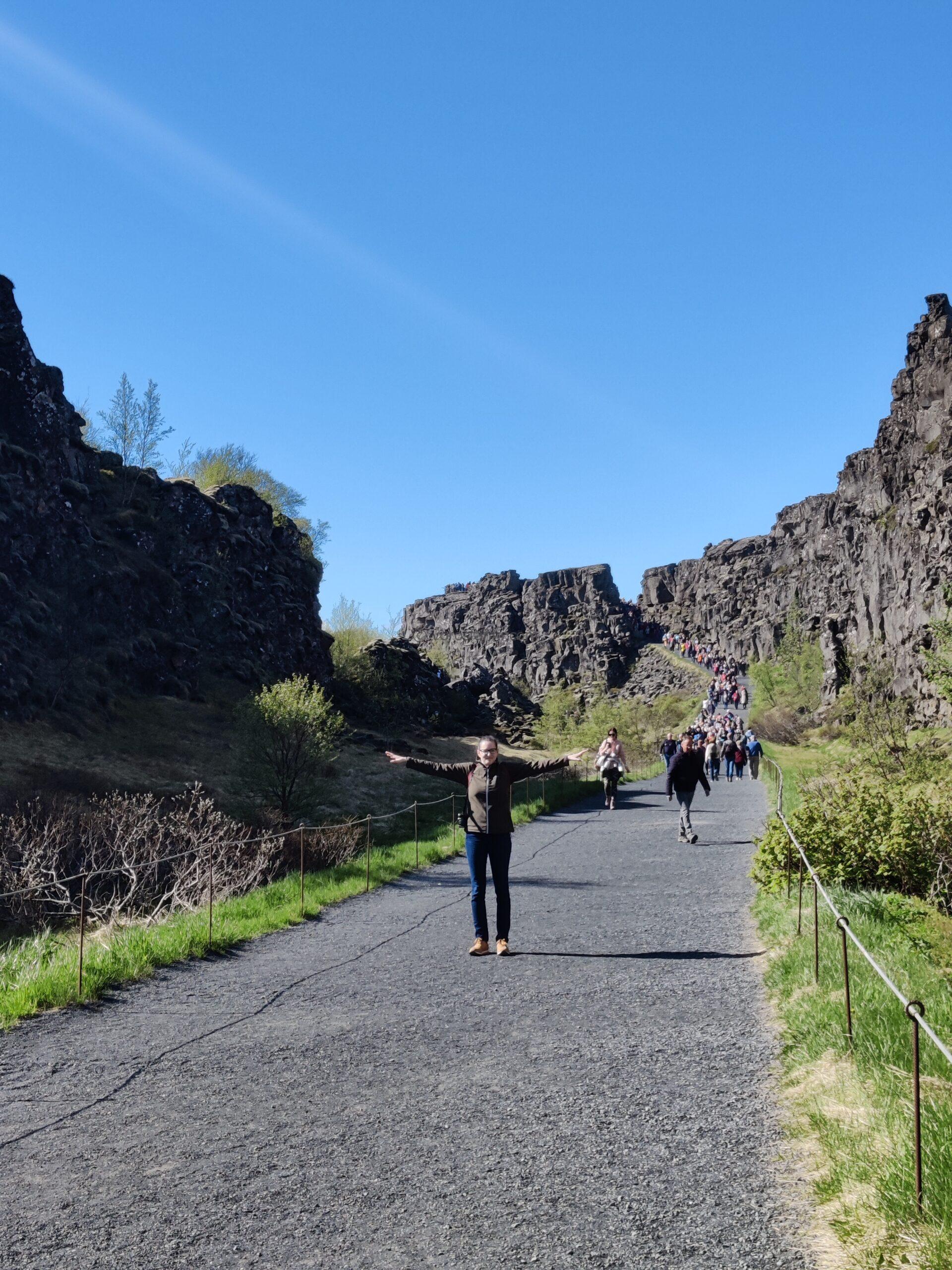
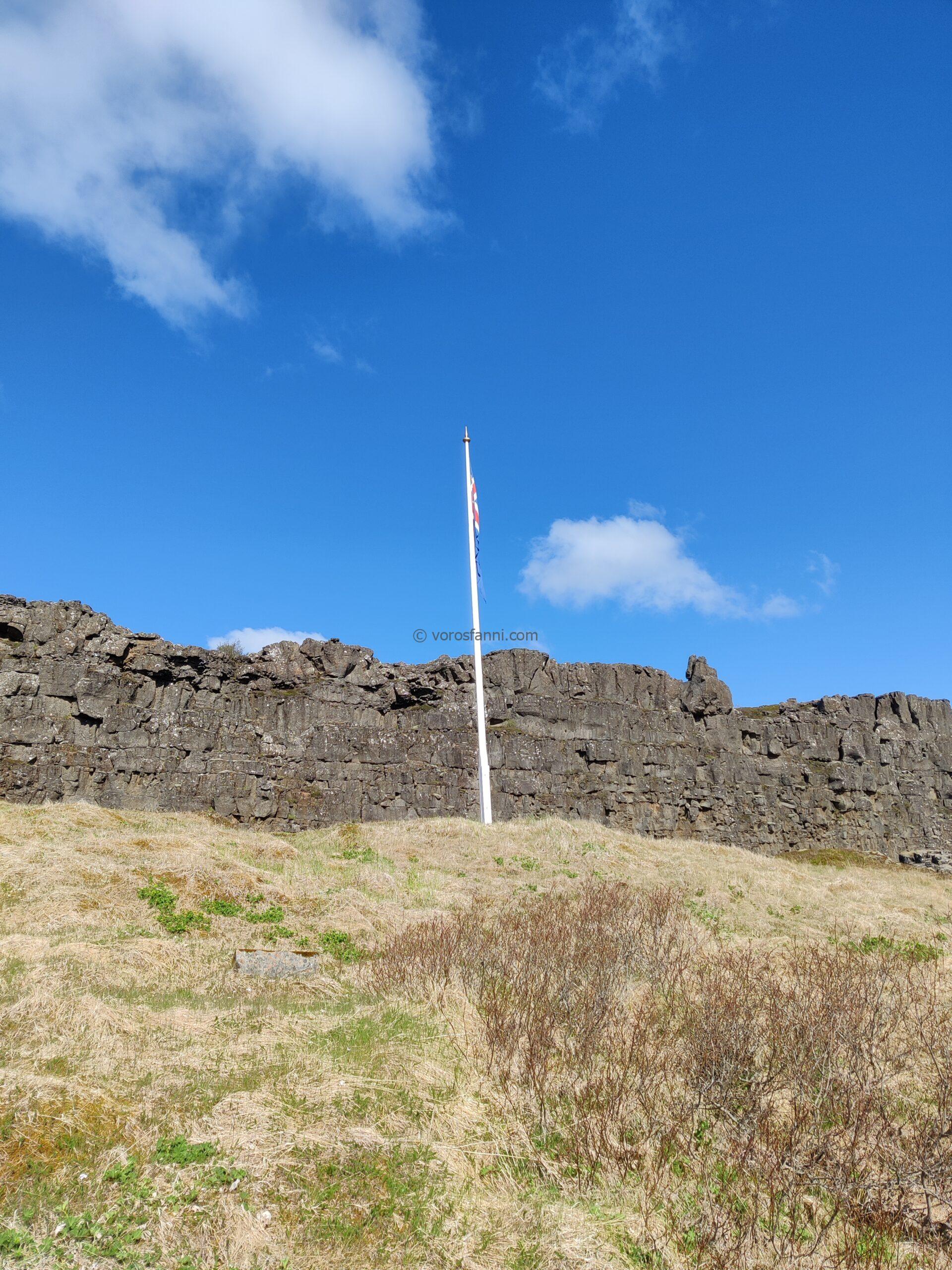
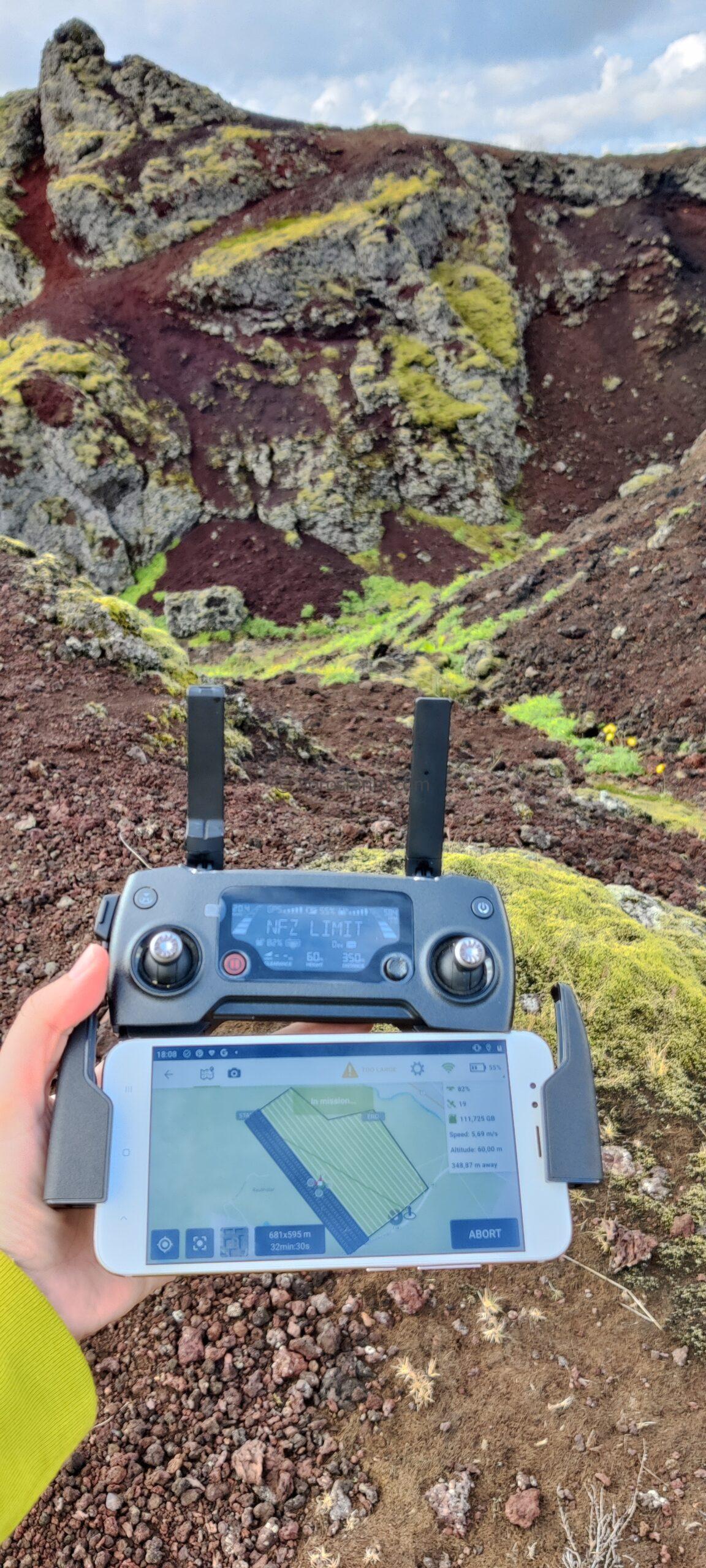
Before finally turning towards the airport, we still had time for a pre-planned drone survey. For now, the details remain shrouded in mystery. We are currently working to draw scientific conclusions from the collected data, which I will discuss in a future post.
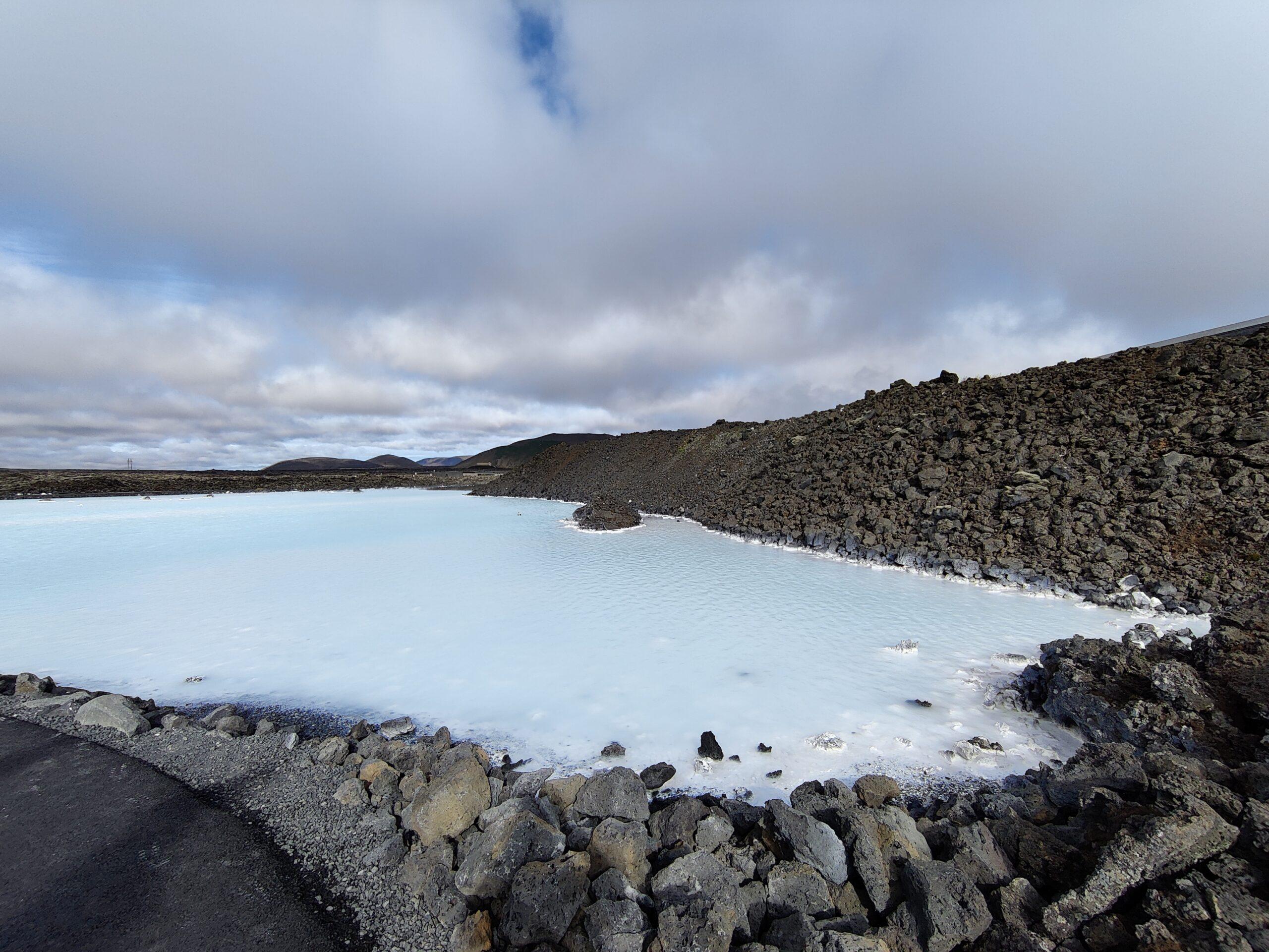
As a fitting conclusion to the trip, while Szabi took a dip in the Blue Lagoon’s famous silica-rich geothermal waters, I reflected on the memories of these incredibly intense two days, brief in duration but packed with geological experiences.
To conclude, here is a short video summary of our little over 48 hours in Iceland: