
What does a drone surveying team actually do in the field? How much time is spent flying, and how much on preparation? Drawing on our most recent project at Lake Velence, I’d like to give you a glimpse into a morning whose results may later serve as the foundation for scientific analyses.
The water level of Lake Velence has been a topic of significant concern for years, and in July 2026 the lake reached a historically low water level. While the retreating shoreline is clearly visible to the naked eye, accurately documenting and monitoring this process requires reliable measurement data. This is where drone surveys can provide valuable support, whether through conventional RGB, thermal, or multispectral data collection. On this particular day, we carried out both RGB and multispectral surveys. I will discuss the results and their scientific interpretation in more detail in a future post.
Fieldwork actually begins long before the first take-off. Battery charge levels, the condition of the sensors, the availability of all necessary accessories, and the proper functioning of the software are all factors that need to be checked before leaving. There is one rule that is particularly important to us: we never update software in the field. Experience has shown that an unexpected software update is far more likely to cause problems than to provide any real benefit.
The day started early in Budapest. Once everyone had arrived at the meeting point, we set off towards Lake Velence. On the way, we also took care of another professionally essential task: the obligatory petrol station hot dog. Jokes aside, when working in the field, it is surprisingly easy to forget to eat and drink, especially during the summer months. By the end of a long day of flying, this can easily take its toll, so we try to make sure from the very start of the day that we have enough energy for the hours ahead.

Upon arriving at the site, we unloaded the equipment and set up our base near the shoreline. There were three of us working that day, so while two team members focused on preparing the survey, one person always stayed with the equipment.


Many people assume that the most important part of a drone survey is the flight itself. In practice, however, the real work often happens during the preparation stage. Defining the survey area, determining the flight altitude, selecting the camera settings, and choosing the appropriate image overlap all play a crucial role in the quality of the final results.
In ideal circumstances, the flight plan can be prepared in advance at the office, even using satellite imagery. In this case, however, one of the key objectives was to examine the current boundary between water and land, which meant that the survey area had to be precisely defined on site.
We began by carrying out a short manual flight. As the drone flies, it continuously records its route, making its exact flight path visible on the map. This allows the survey to be planned according to the actual conditions in the field, which is particularly useful in areas where existing map data no longer reflects the current situation.


Once we had defined the boundaries of the study area, it was time to set the flight parameters. We planned separate RGB and multispectral surveys. The multispectral data collection was carried out at an altitude of 61 metres, which provided a suitable balance between area coverage and image resolution. Even so, the resulting ground sampling distance was approximately 1.5 centimetres.
One aspect I found particularly interesting was how the processing software would handle the extensive water surfaces, since these often present significant challenges for photogrammetry. I will discuss this topic in more detail in a separate post.
At first, the weather conditions were ideal. The overcast sky provided uniform lighting, meaning we did not have to contend with distracting shadows. By the second half of the morning, however, the sun broke through the clouds, and the summer heat quickly made its presence felt.
Despite this, the flights proceeded without any issues. Both the M4T and the M3M required a single battery change, after which we successfully completed all the planned tasks. Naturally, we also documented the work throughout the day; my colleague, András Kustor, recorded video footage of the field survey.
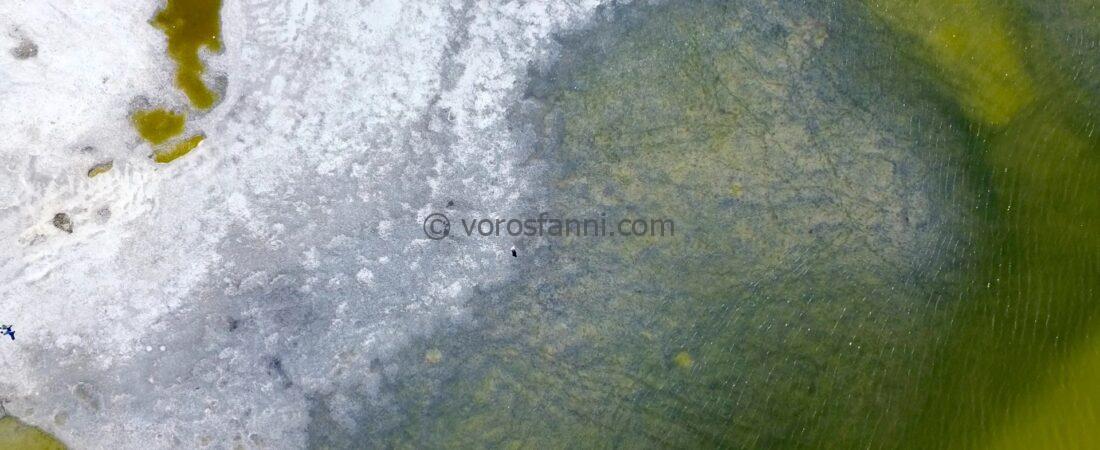
While one drone was flying its designated route, I had the opportunity to capture a few shots with my own Mini drone. It is always fascinating to look at the same landscape through both a research and a creative lens at the same time.


At the end of the job came the usual routine: checking the equipment, packing everything up, and then checking once more to make sure every single item had actually made it back into the car. Surprisingly, that last step is sometimes more important than it sounds.
One of the greatest values of the day was not necessarily the dataset collected on that particular occasion, but the fact that we saved the flight routes. During future surveys, these same flight plans can be reused, allowing data to be collected over the same area using exactly the same parameters. This makes it possible to build time-series datasets that are truly comparable over time and therefore suitable for monitoring and analysing change.