
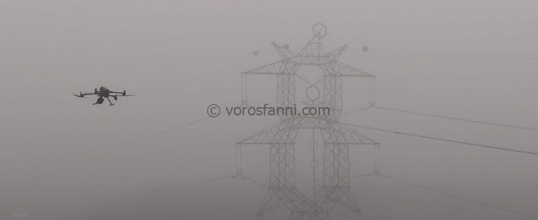
I had the opportunity to put DJI’s latest LiDAR sensor, released in November 2025, to the test in real-world conditions at exactly the “best possible” time. For days, dense fog covered large parts of the country, creating a double challenge: not only did it limit the visibility of the drone, but due to the laser-based nature of LiDAR technology, it also made surveying virtually impossible. According to professional recommendations, flying in foggy or humid conditions is not advisable, as atmospheric moisture can significantly degrade the quality of the resulting point cloud.
I should add that the very first test actually took place a few days earlier under ideal weather conditions. However, due to a post-processing error, that dataset ultimately did not produce a point cloud, leaving the foggy flight as the official premiere.


Although the geospatial post-processing did not turn out to be successful, a video about the premiere and the new sensor was produced and can be viewed here. (The most attentive viewers may even spot me in the background at around the one-and-a-half-minute mark.):
In addition to the sensor’s increased range, the most significant innovation lies in the features specifically optimized for power line inspection, which is why we chose a test site located along this type of infrastructure. I was also curious to see how the impressive, up to 16-times return capability would perform in practice: would it be able to reveal smaller, hidden objects placed at the base of trees?


This is how the drone made its way through the fog:
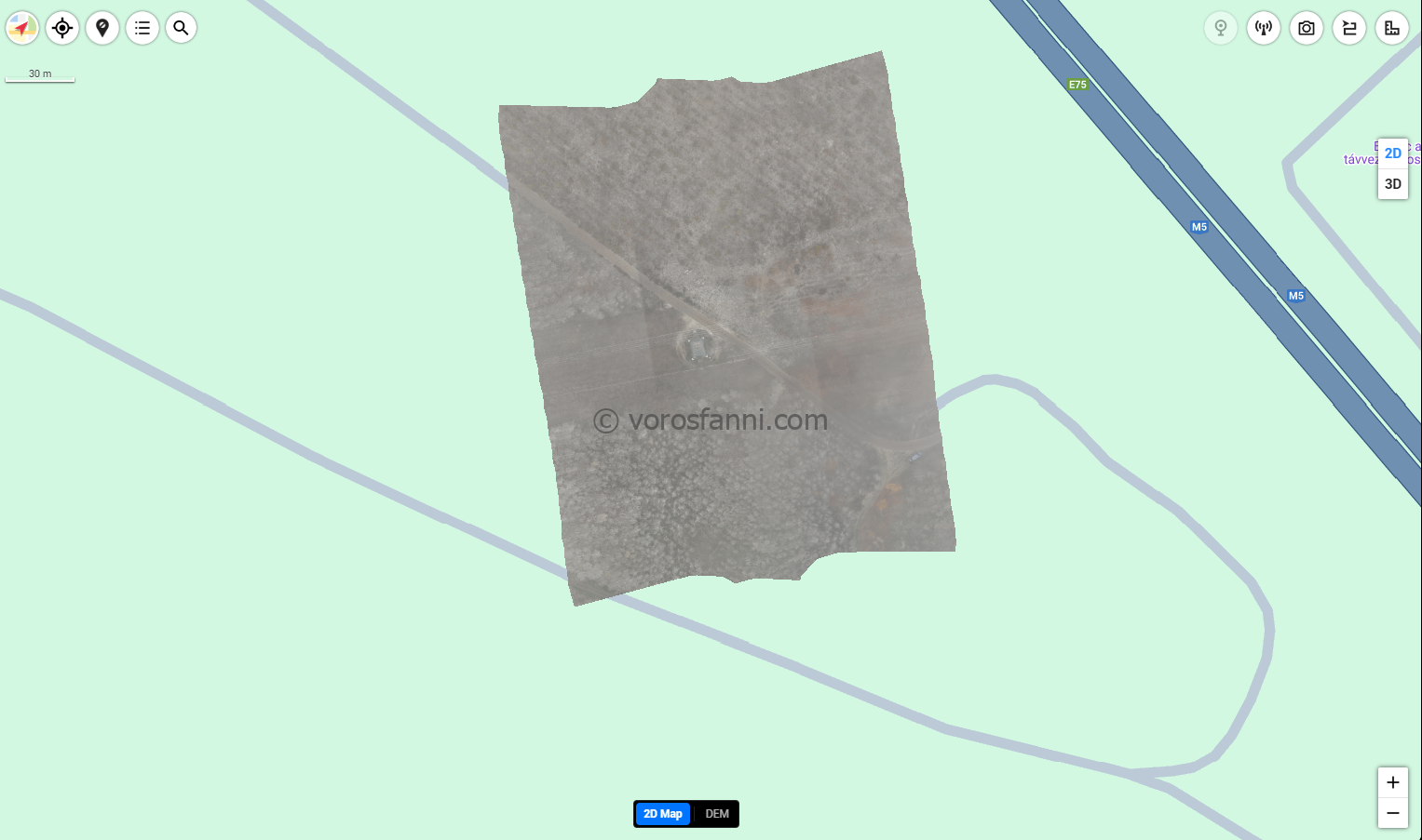
To process the data, I used DJI’s own software, DJI Terra. Out of curiosity, I generated not only the point cloud but also an orthophoto with it. However, as can be seen in the image below, when using a flight path designed specifically for LiDAR surveying, the result is really only suitable as a background map. Of course, the software also includes flight-planning tools specifically intended for photogrammetry, but I did not test those on this occasion.
What do we see in the images below?
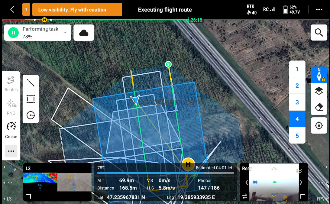
1) The flight path of the oblique survey during data acquisition.
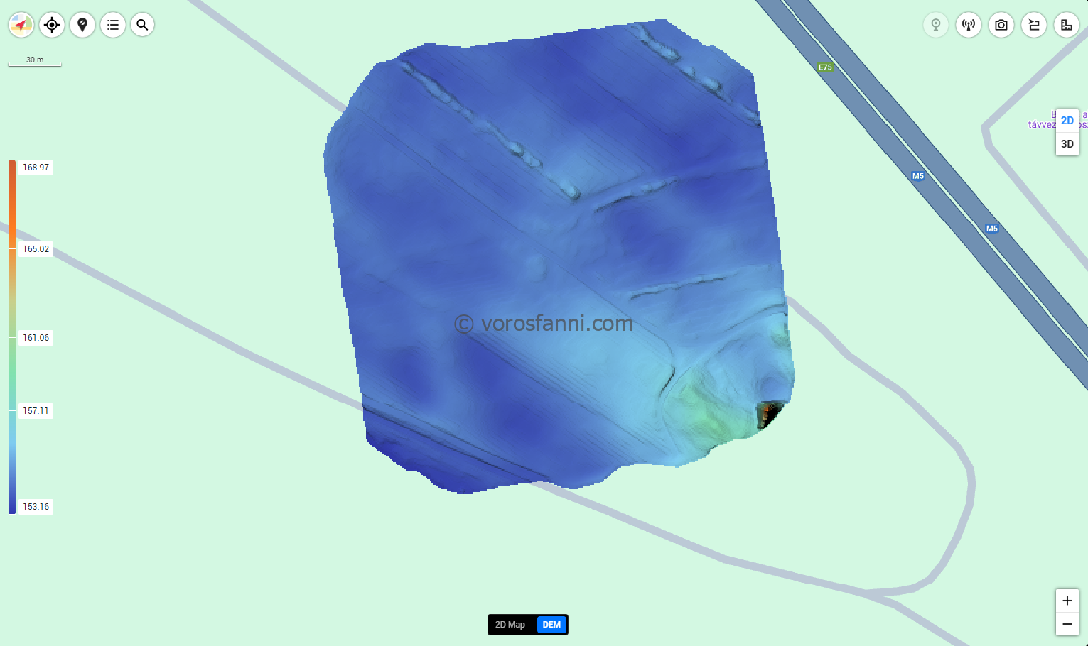
2) The generated orthophoto.The terrain model derived from the survey.
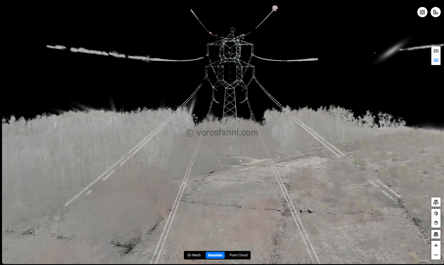
3) The point cloud visualized using Gaussian Splatting technology.
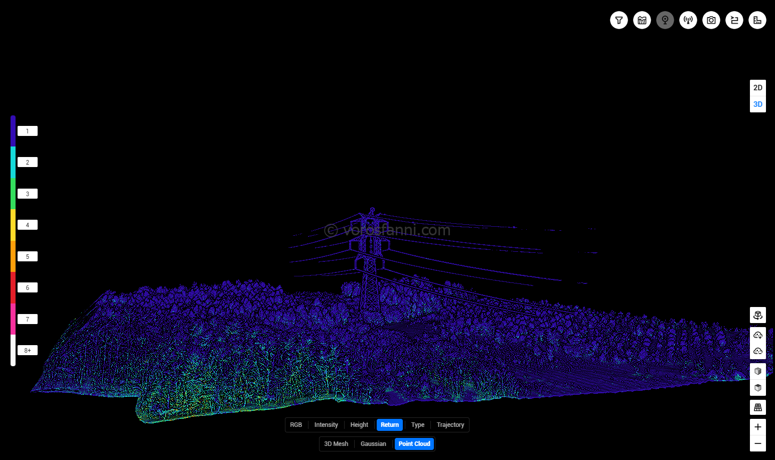
4) The point cloud colored according to the number of returns.
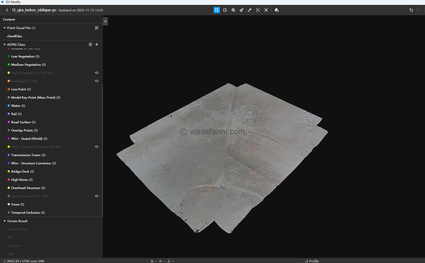
5)DJI Modify also performed a basic automated classification.
6) Of the generated classes, only the surface (ground) points have been retained here, while all other objects have been turned off.

Copilot said:The subsequent identification of the objects placed at the base of the trees was carried out directly within the software. No additional filtering or complex data processing was applied at this stage. Instead, I located the area of interest within DJI Terra itself and checked whether the target objects protruded from the ground surface when viewed in cross-section (profile view).


Despite the unfavorable weather conditions, this survey provided an excellent demonstration of what the sensor is capable of under the worst possible field conditions. It can also be seen as a real-world stress test, offering a realistic picture of the device’s limitations. Detailed technical parameters and specifications can be found at the following link:
Click for more information